Historical USGS topographic maps
The US Geological Survey has mapped the country in quadrangles since the 1880s and kept every edition. Each result here is one quadrangle at one scale, with all its editions listed on its page and downloads as GeoTIFF and GeoPDF.
Why they are free to use: Made by the US Geological Survey: US government works, not protected by copyright in the US. Each map's page shows its own licence basis and a credit line.
National parks
Search “USGS topographic map of Yosemite Valley national park” for more, or ask Claude for it
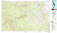
Yosemite Valley, California: USGS topographic map, 1:100,000 (1976)
1976 · 2 editions
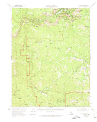
Yosemite, California: USGS topographic map, 1:62,500 (1956)
1956 · 4 editions
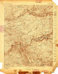
Yosemite, California: USGS topographic map, 1:125,000 (1897–1909)
1897–1909 · 11 editions
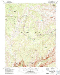
Yosemite Falls, California: USGS topographic map, 1:24,000 (1990–1997)
1990–1997 · 3 editions
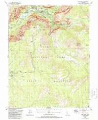
Half Dome, California: USGS topographic map, 1:24,000 (1990–1997)
1990–1997 · 4 editions
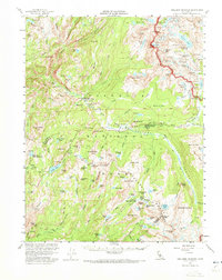
Tuolumne Meadows, California: USGS topographic map, 1:62,500 (1956)
1956 · 5 editions
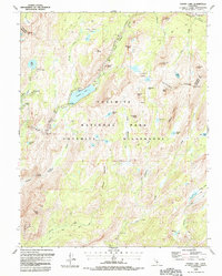
Tenaya Lake, California: USGS topographic map, 1:24,000 (1990–1997)
1990–1997 · 3 editions
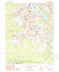
Tioga Pass, California: USGS topographic map, 1:24,000 (1990–1994)
1990–1994 · 5 editions
Cities
Search “USGS topographic map of a city, 1890s edition” for more, or ask Claude for it
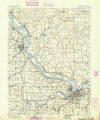
Kansas City, Kansas: USGS topographic map, 1:125,000 (1890–1894)
1890–1894 · 8 editions
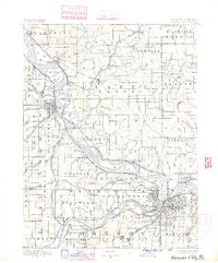
Kansas City, Missouri: USGS topographic map, 1:125,000 (1890–1894)
1890–1894 · 8 editions
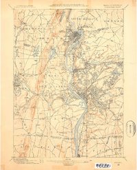
Springfield, Massachusetts: USGS topographic map, 1:62,500 (1886–1920)
1886–1920 · 15 editions
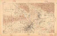
Los Angeles, California: USGS topographic map, 1:62,500 (1894–1900)
1894–1900 · 5 editions
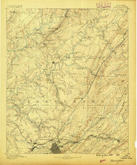
Birmingham, Alabama: USGS topographic map, 1:125,000 (1889–1907)
1889–1907 · 9 editions
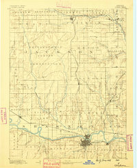
Topeka, Kansas: USGS topographic map, 1:125,000 (1889–1894)
1889–1894 · 6 editions
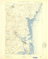
Newburyport, Massachusetts: USGS topographic map, 1:62,500 (1888–1894)
1888–1894 · 9 editions
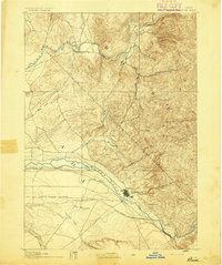
Boise, Idaho: USGS topographic map, 1:125,000 (1892–1897)
1892–1897 · 5 editions
Mountains
Search “USGS topographic map of a mountain range in Colorado” for more, or ask Claude for it
Mount Ouray, Colorado: USGS topographic map, 1:24,000 (1980–1994)
1980–1994 · 6 editions
Carrizo Mountain, Colorado: USGS topographic map, 1:24,000 (1978–1996)
1978–1996 · 2 editions
Twin Mountains, Colorado: USGS topographic map, 1:24,000 (1967–2001)
1967–2001 · 5 editions
Mount Yale, Colorado: USGS topographic map, 1:24,000 (1982–1994)
1982–1994 · 3 editions
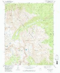
Mount Harvard, Colorado: USGS topographic map, 1:24,000 (1982–1994)
1982–1994 · 3 editions
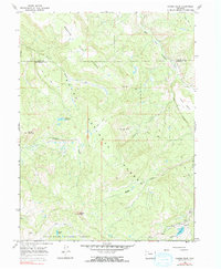
Pagoda Peak, Colorado: USGS topographic map, 1:24,000 (1966–2000)
1966–2000 · 6 editions
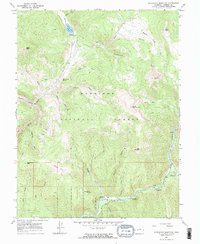
Matchless Mountain, Colorado: USGS topographic map, 1:24,000 (1967–2001)
1967–2001 · 5 editions
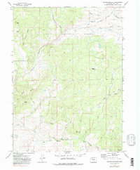
Quaker Mountain, Colorado: USGS topographic map, 1:24,000 (1971–2000)
1971–2000 · 5 editions
Coasts
Search “USGS topographic map of a coast and bay” for more, or ask Claude for it
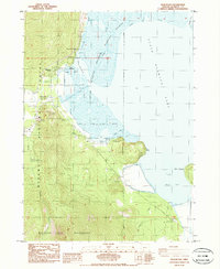
Pelican Bay, Oregon: USGS topographic map, 1:24,000 (1985–1998)
1985–1998 · 2 editions
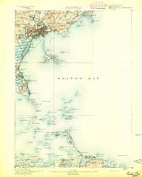
Boston Bay, Massachusetts: USGS topographic map, 1:62,500 (1892–1903)
1892–1903 · 13 editions
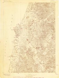
Coos Bay, Oregon: USGS topographic map, 1:125,000 (1896–1900)
1896–1900 · 9 editions
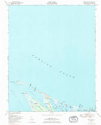
North Bay, North Carolina: USGS topographic map, 1:24,000 (1948–2002)
1948–2002 · 3 editions
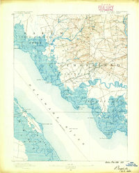
Bay Side, New Jersey: USGS topographic map, 1:62,500 (1890–1931)
1890–1931 · 7 editions
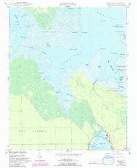
Long Bay, North Carolina: USGS topographic map, 1:24,000 (1949–1950)
1949–1950 · 4 editions
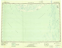
Kuskokwim Bay, Alaska: USGS topographic map, 1:250,000 (1951–1954)
1951–1954 · 4 editions
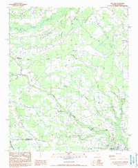
Mill Bay, South Carolina: USGS topographic map, 1:24,000 (1990)
1990 · USGS Historical Topographic Map Collection
Need maps for a video, lesson or book?
Add Find Any Map to Claude and ask for the maps you need, part by part. Claude searches this index, shows you the matches with their licences and writes the credit lines.
Add to Claude for free