Old maps of Chicago
Maps of Chicago from a frontier town on the lake to the 1920s: the city before and after the Great Fire of 1871, bird's-eye views, the World's Columbian Exposition of 1893, Sanborn fire insurance atlases and USGS topographic maps.
Why they are free to use: Most were published more than a century ago, so their copyright has expired. Each map's page shows its own licence basis and a credit line.
The city
Search “old map of Chicago” for more, or ask Claude for it
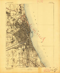
Chicago, Illinois: USGS topographic map, 1:62,500 (1889–1901)
1889–1901 · 8 editions

City of Chicago.
1871 · Library of Congress

Chicago in 1868 from Schiller Street north side to 12th Street south side.
1868 · Library of Congress

The city of Chicago.
1892 · Library of Congress

Map showing the burnt district in Chicago - published for the benefit of the Relief Fund
1870 · Library of Congress

The City of Chicago as it was before the great conflagration of October 8th, 9th, & 10th, 1871.
1871 · Library of Congress

1893 grand view of Chicago.
1893 · Library of Congress

Bird's eye view of Chicago, 1893.
1893 · Library of Congress
Views of Chicago
Search “bird's-eye view of Chicago” for more, or ask Claude for it

Bird's-eye-view of the business district of Chicago.
1898 · Library of Congress

Chicago, central business section.
1916 · Library of Congress

Chicago, central business section.
1916 · Library of Congress

Bird's eye view of Chicago, 1892.
1892 · Library of Congress

Bird's eye view of the World's Columbian Exposition, Chicago, 1893.
1893 · Library of Congress

Birds-eye view of the elevated railroads and the parks and boulevards of Chicago.
1908 · Library of Congress

Chicago, central business section.
1916 · Library of Congress
Topographic maps
Search “USGS topographic map of Chicago” for more, or ask Claude for it
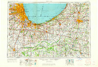
Chicago, Illinois: USGS topographic map, 1:250,000 (1953–1957)
1953–1957 · 6 editions
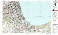
Chicago, Illinois: USGS topographic map, 1:100,000 (1980)
1980 · USGS Historical Topographic Map Collection
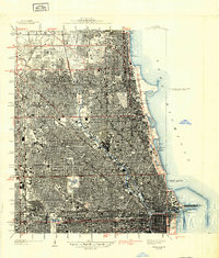
Chicago Loop, Illinois: USGS topographic map, 1:24,000 (1929–1997)
1929–1997 · 9 editions
Need maps for a video, lesson or book?
Add Find Any Map to Claude and ask for the maps you need, part by part. Claude searches this index, shows you the matches with their licences and writes the credit lines.
Add to Claude for free