

Meissner Babylonien und Assyrien clay map 1925
Fig. 41. Babylonian world map. (Cuneiform Texts from Babylonian Tablets XXII, 48.) Published in Bruno Meissner, Babylonien und Assyrien, vol. 2.
- Date
- 1925
- Archive
- Wikimedia Commons
- Type
- map
- Original size
- 1,505 × 1,519 pixels
Public domainsafest
Reason: its maker died more than 75 years ago.
Read from: Commons licence category: PD-old-75-expired; no CC BY, CC BY-SA, GFDL or deletion tag on the file page.
Credit line
"Meissner Babylonien und Assyrien clay map 1925" (1925). Wikimedia Commons. Public domain. https://commons.wikimedia.org/wiki/File:Meissner_Babylonien_und_Assyrien_clay_map_1925.jpgNeed maps for a whole project? Add Find Any Map to Claude and ask for this one by its id: 144658.
More like this

Babylonian Map of the World, 700-500 BC
1500 · Wikimedia Commons

Geography 004 - Babylonian Map of the World - Interpretation
Wikimedia Commons
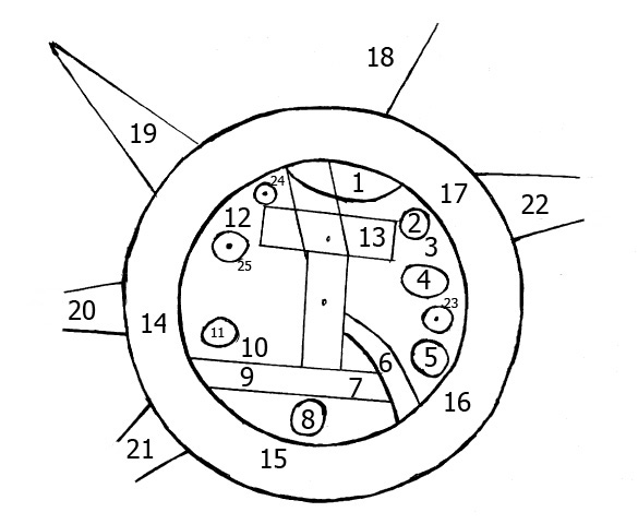
skeleton map of Babylonian World Map
2009 · Wikimedia Commons

Map of eastern Turkey in Asia, Syria and western Persia the period of the Babylonian and Assyrian empires. 1 colour topographic basemap with red overprint showing map of Babylonian and Assyrian empires, with positions of principal Assyrian rock-cut inscriptions. Elevation shown by hachures and spot
1915 · Wikimedia Commons

Democratic Ideals and Reality, 1919 Fig 21 p 115
1919 · Wikimedia Commons

Ancient greek maps 3 stages
1923 · Wikimedia Commons

The World according to Herodotus, H. G. Wells' Outline of History, page 161
1923 · Wikimedia Commons
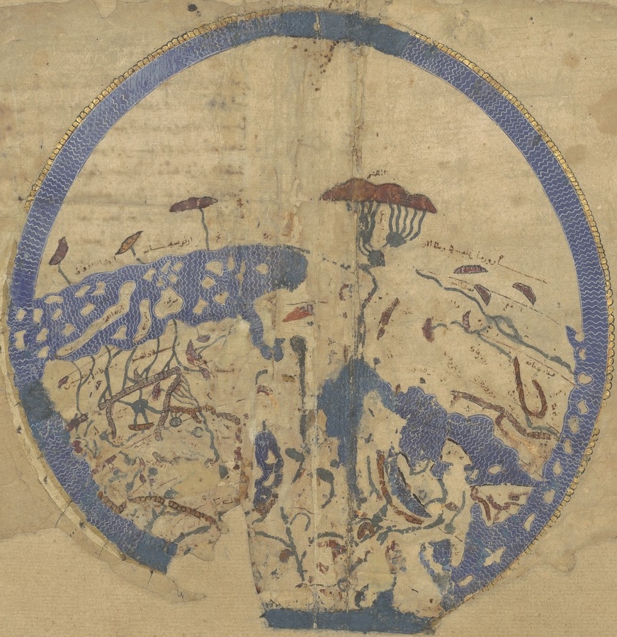
Idrisi MS BNF Ar 2221 f 3v-4r
1250–1325 · Wikimedia Commons