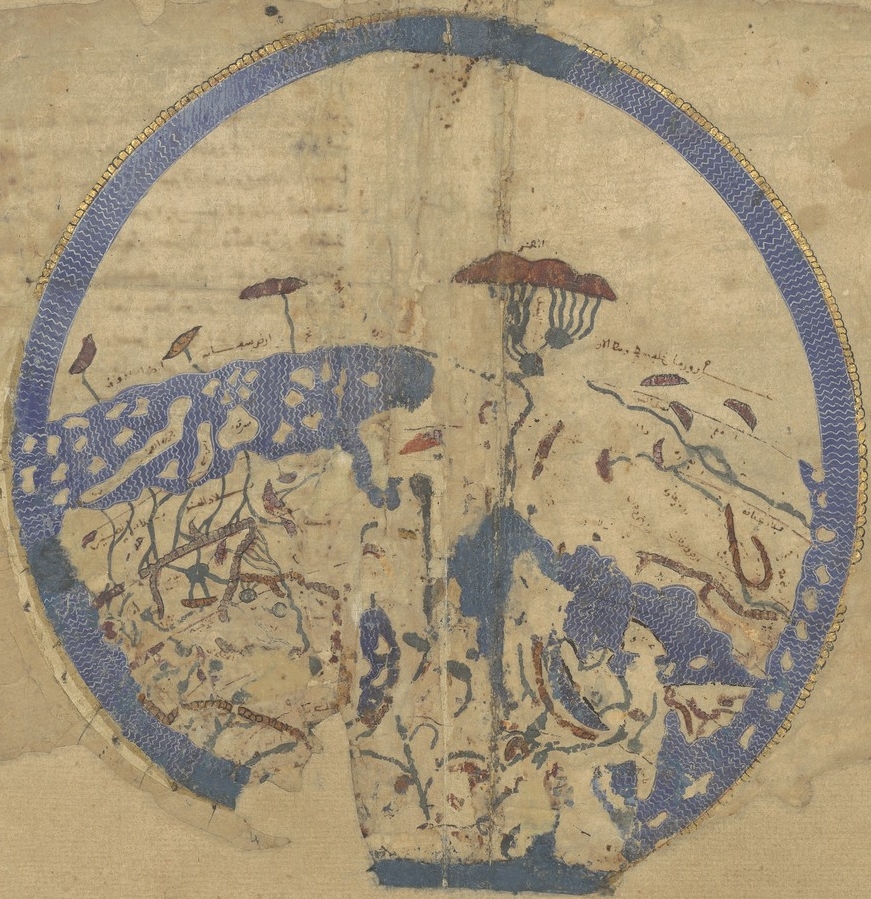

Idrisi MS BNF Ar 2221 f 3v-4r
Idrisi, De geographia universali, prefatory world map, from Paris MS BNF Ar. 2221 ff 3v-4r
- Date
- 1250–1325
- Mapmaker / publisher
- al-Idrisi
- Place
- the world before Columbus
- Archive
- Wikimedia Commons
- Type
- map
- Original size
- 871 × 899 pixels
Public domainsafest
Reason: its maker died more than 100 years ago.
Read from: Commons licence category: PD-old-100-expired; no CC BY, CC BY-SA, GFDL or deletion tag on the file page.
Credit line
"Idrisi MS BNF Ar 2221 f 3v-4r" (1250–1325). al-Idrisi, via Wikimedia Commons. Public domain. https://commons.wikimedia.org/wiki/File:Idrisi_MS_BNF_Ar_2221_f_3v-4r.JPEGNeed maps for a whole project? Add Find Any Map to Claude and ask for this one by its id: 145437.
More like this

Carte générale du globe tirée de la géographie d'El-Edrisi, milieu du XIIe s. de l'ère vulgaire
2 sheets

This is a composite image of fol. 3v–4r, from University of Pennsylvania Rare Book & Manuscript Library, LJS 495, Kharīdat al-ʻajāʼib wa farīḍat al-gharāʼib, by Ibn al-Wardī, Sirāj al-Dīn Abū Ḥafṣ ʻUm
1457 · Wikimedia Commons

Ibn Wardi mappa mundi
c. 1349 · Wikimedia Commons

Abbo of Fleury, Map of the world
1833 · Wikimedia Commons

Rectangular world map from Fatimid treatise, Book of Curiosities of the Sciences and Marvels for the Eyes, copy of manuscript originally written in the first half of the 11th century
Wikimedia Commons

Ibn al Wardi's atlas
c. 1450 · Wikimedia Commons

Aja'ib al-Makhluqat by Zakariya al-Qazwini
c. 1530 · Wikimedia Commons

Habitabilis Nostre Tabula
1490 · Wikimedia Commons