

Dystrykt warszawski
- Mapmaker / publisher
- own
- Place
- the General Government
- Archive
- Wikimedia Commons
- Type
- map
- Original size
- 3,000 × 2,052 pixels
CC0safest
Reason: CC0: dedicated to the public domain.
Read from: Commons licence category: CC-Zero; no CC BY, CC BY-SA, GFDL or deletion tag on the file page.
Credit line
"Dystrykt warszawski". own, via Wikimedia Commons. CC0. https://commons.wikimedia.org/wiki/File:Dystrykt_warszawski.jpgNeed maps for a whole project? Add Find Any Map to Claude and ask for this one by its id: 23724.
More like this

Siedlungsplanung Warthegau
2011 · Wikimedia Commons

AGAD Mapa generalnego gubernatorstwa z 39
1943 · Wikimedia Commons

28 Nazi Germany 1940
1940 · Wikimedia Commons

PlanGPnn
November 20, 2010 · Wikimedia Commons

Map of the administrative districts in territories under the control of Nazi Germany in 1941. This map shows administration borders and has been retouched from the original Wiki Commons image. Specifi
May 26, 2006 · Wikimedia Commons

Regierungsbezirk Kattowitz
1943 · Wikimedia Commons
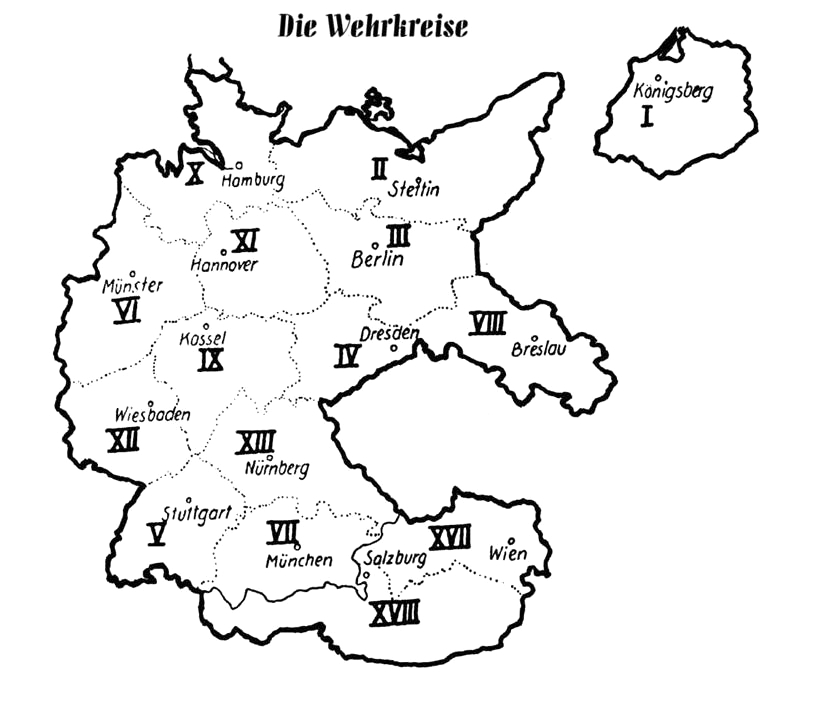
Wehrkreise Deutsches Reich
2007 · Wikimedia Commons

Military Administration in Serbia
July 31, 2011 · Wikimedia Commons