

Siedlungsplanung Warthegau
German Settlement plan for the Warthegau and adjacent areas
- Date
- 2011
- Mapmaker / publisher
- Mullerkingdom
- Place
- Reichsgau Wartheland
- Archive
- Wikimedia Commons
- Type
- map
- Original size
- 1,432 × 1,494 pixels
CC0safest
Reason: CC0: dedicated to the public domain.
Read from: Commons licence category: CC-Zero; no CC BY, CC BY-SA, GFDL or deletion tag on the file page.
Credit line
"Siedlungsplanung Warthegau" (2011). Mullerkingdom, via Wikimedia Commons. CC0. https://commons.wikimedia.org/wiki/File:Siedlungsplanung_Warthegau.jpgNeed maps for a whole project? Add Find Any Map to Claude and ask for this one by its id: 23735.
More like this

German Map Sudeten
October 29, 1938 · Wikimedia Commons

Poland1939 GermanPlanMap
1939 · Wikimedia Commons

PlanGPnn
November 20, 2010 · Wikimedia Commons

Deutschesreich1939
1938 · Wikimedia Commons

Dystrykt warszawski
Wikimedia Commons

Sixth AG offensive
1945 · Wikimedia Commons

Planned and actual territorial changes in Central Europe 1939-1940
September 18, 2005 · Wikimedia Commons
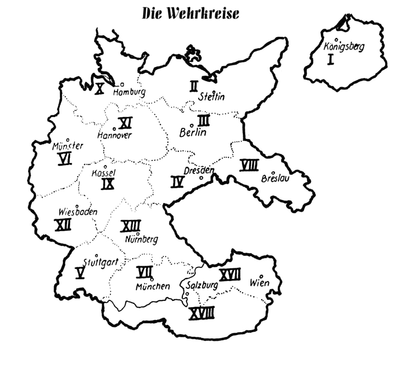
Wehrkreise Deutsches Reich
2007 · Wikimedia Commons