

Plan for Michael attack, March 1918
Map of the plan for the Michael attack of March 1919. The intent was to encircle the British V Corps by breaking though on either side of the front marked in red.
- Date
- 1919
- Mapmaker / publisher
- Crown Prince Rupprecht of Bavaria
- Archive
- Wikimedia Commons
- Type
- map
- Original size
- 2,073 × 1,481 pixels
Public domainsafest
Reason: its US copyright has expired (published before 1931).
Read from: Commons licence category: PD US expired; no CC BY, CC BY-SA, GFDL or deletion tag on the file page.
Credit line
"Plan for Michael attack, March 1918" (1919). Crown Prince Rupprecht of Bavaria, via Wikimedia Commons. Public domain. https://commons.wikimedia.org/wiki/File:Plan_for_Michael_attack,_March_1918.jpgNeed maps for a whole project? Add Find Any Map to Claude and ask for this one by its id: 23197.
More like this

1918 michael
1919 · Wikimedia Commons

Limit of the German advance during Operation Michael, March–April 1918
1922 · Wikimedia Commons

Operation Michael 1918 Map SGW Vol VII
c. 1919 · Wikimedia Commons
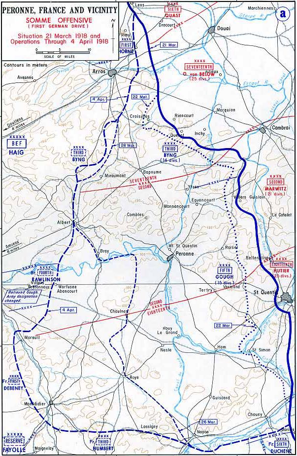
Map of German Somme offensive 1918
1918 · Wikimedia Commons

Western front 1918 german
1918 · Wikimedia Commons

Operation Michael 1918
1918 · Wikimedia Commons

Map of German Lys offensive 1918
1918 · Wikimedia Commons

Allied Initial Soissons Attack Plan 18 July 1918
January 2, 1948 · Wikimedia Commons