

Operation Michael 1918 Map SGW Vol VII
Detailed map showing extent of German gains during Operation Michael and Gneisenau, France, 21 March - 11 June 1918.
- Date
- c. 1919
- Mapmaker / publisher
- artist not identified
- Place
- the Kaiserschlacht 1918
- Archive
- Wikimedia Commons
- Type
- map
- Original size
- 1,107 × 1,594 pixels
Public domainsafest
Reason: its US copyright has expired (published before 1931).
Read from: Commons licence category: PD US expired; no CC BY, CC BY-SA, GFDL or deletion tag on the file page.
Credit line
"Operation Michael 1918 Map SGW Vol VII" (c. 1919). artist not identified, via Wikimedia Commons. Public domain. https://commons.wikimedia.org/wiki/File:Operation_Michael_1918_Map_SGW_Vol_VII.jpegNeed maps for a whole project? Add Find Any Map to Claude and ask for this one by its id: 13631.
More like this

Collier's 1921 World War - German drives
1921 · Wikimedia Commons
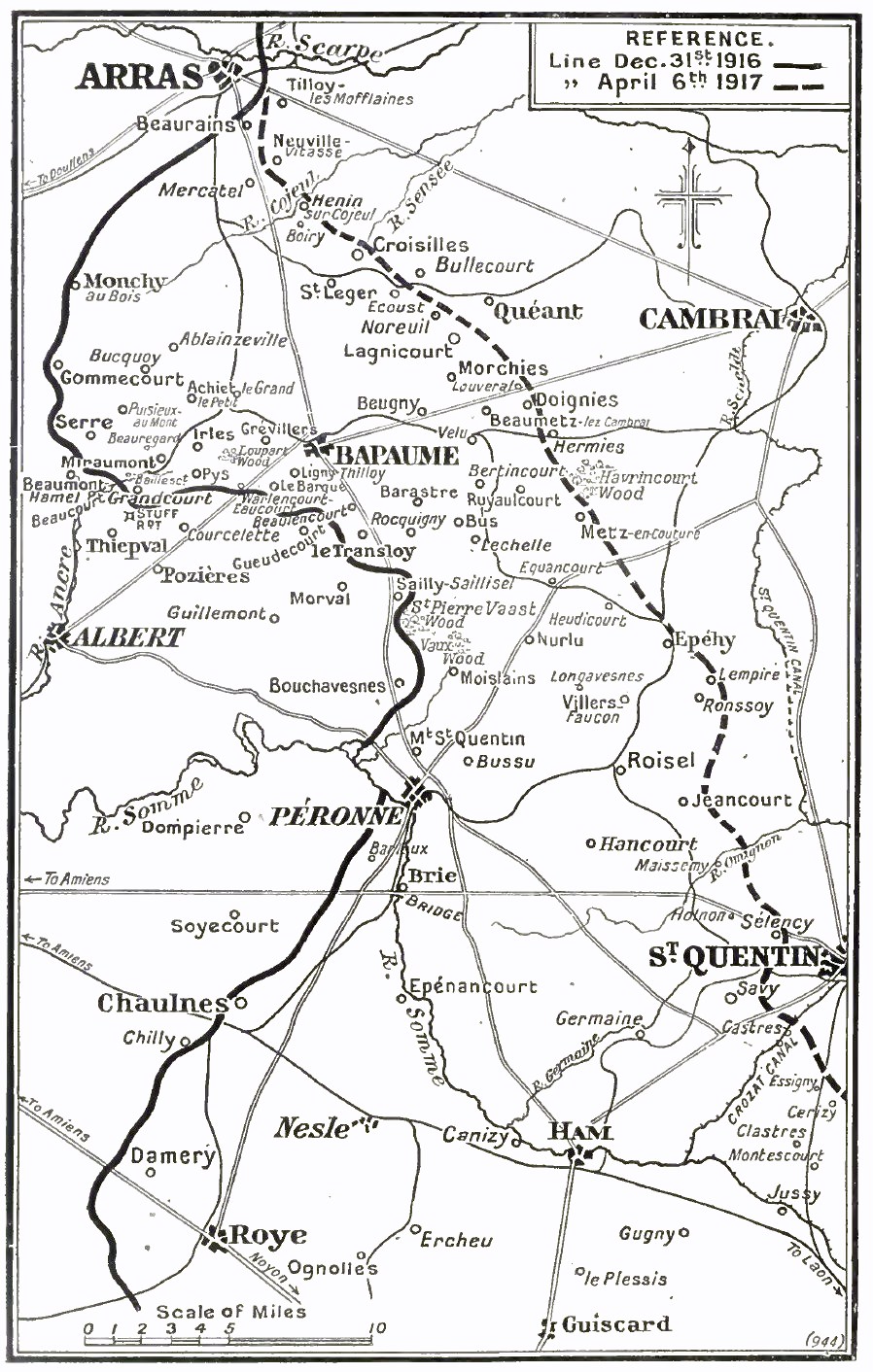
Operation Alberich, March, 1917
c. 1921 · Wikimedia Commons

Western Front battle lines - March to Nov. 1918
1922 · Wikimedia Commons

Hindenburg Line Map SGW Vol VIII
1920 · Wikimedia Commons

Collier's 1921 World War - Franco-American offensive
1921 · Wikimedia Commons

51st (Highland) Div positions March 1918
1921 · Wikimedia Commons

Limit of the German advance during Operation Michael, March–April 1918
1922 · Wikimedia Commons

Meuse-Argonne offensive, map showing daily position of front line - Map Room G-3, G.H.Q., May 24, 1919.
1918 · Library of Congress