

Map of 400 Plateau Anzac landing
The situation of the Australian 1st Division on 400 Plateau on the first (April 25) and second (April 26) day of the landing at Anzac Cove. Units are shown in red. The position reached by Lieutenant Loutit's party on the third ridge early on the first day is indicated. Following his retreat after 9.30am the survivors took up position overlooking Wire Gully, shown in pale red. The approximate position taken up by about half of the 9th Battalion under Major Salisbury at the head of Owen's Gully is shown. When at about 9am this strong line was abandoned, a large gap developed across the centre of the plateau. The position of Major Bennett's contingent from the 6th Battalion on Pine Ridge is indicated. This group was annihilated on the evening of the first day. The 4th Battalion took up position to the left of the 8th Battalion on Bolton's Ridge in the evening of the first day. On the second day, General Bridges instructed small parties on the plateau to form a line along the edges of the "Daisy Patch"; a flat, scrub-free region covered with flowers. The 4th Battalion mistakenly advanced as well, following the path shown by the dotted red line. The approximate front line that developed
- Date
- April 18, 2004
- Archive
- Wikimedia Commons
- Type
- map
- Original size
- 800 × 524 pixels
Public domain
Reason: public domain: user.
This status rests on the map's publication history, as researched by Wikimedia Commons. Check it before commercial use.
Read from: Commons licence category: PD-user; no CC BY, CC BY-SA, GFDL or deletion tag on the file page.
Credit line
"Map of 400 Plateau Anzac landing" (April 18, 2004). Wikimedia Commons. Public domain. https://commons.wikimedia.org/wiki/File:Map_of_400_Plateau_Anzac_landing.jpgNeed maps for a whole project? Add Find Any Map to Claude and ask for this one by its id: 22569.
More like this
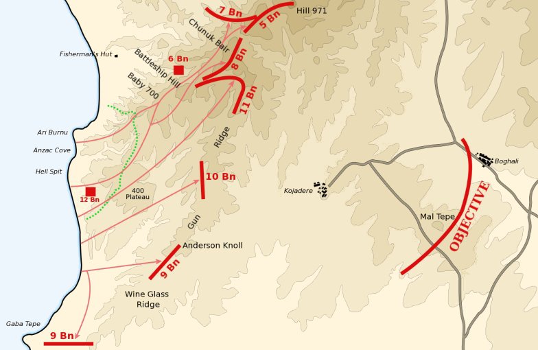
Anzac landing plan April 25 1915
March 13, 2004 · Wikimedia Commons

Anzac covering force landing April 25 1915
c. 2004 · Wikimedia Commons

Baby 700 afternoon April 25 1915
March 29, 2004 · Wikimedia Commons
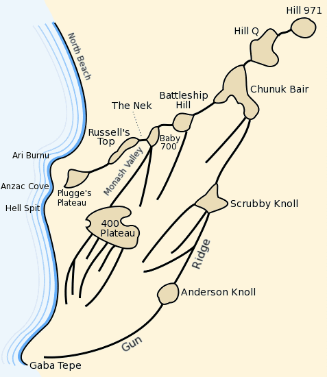
Anzac plateaus and ridges
March 11, 2004 · Wikimedia Commons
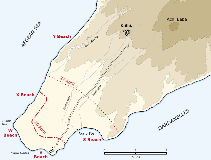
Cape Helles landing map
2005 · Wikimedia Commons
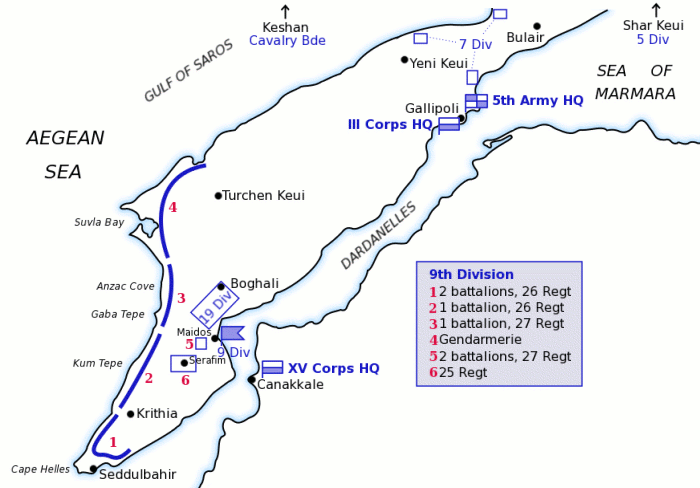
Map of Turkish forces at Gallipoli April 1915
March 12, 2004 · Wikimedia Commons

Anzac Cove landing map used by Raymond Leane
1915 · Wikimedia Commons

Anzac Cove region topographic battlefield map H.E.C. Robinson 1916 (georeferenced)
1916–2014 · Wikimedia Commons