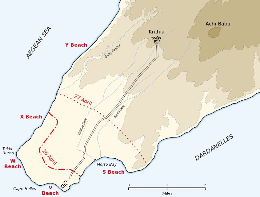

Cape Helles landing map
Map of the landing of the British 29th Division at Cape Helles on April 25, 1915 during the Battle of Gallipoli. The front line established by the night of April 26 is shown by the red dash-dot line. The front line reached by the night of April 27 is shown by the red dotted line. This became the "jumping off" line for the First Battle of Krithia.
- Date
- 2005
- Mapmaker / publisher
- Gsl
- Archive
- Wikimedia Commons
- Type
- map
- Original size
- 845 × 642 pixels
Public domain
Reason: public domain: user.
This status rests on the map's publication history, as researched by Wikimedia Commons. Check it before commercial use.
Read from: Commons licence category: PD-user; no CC BY, CC BY-SA, GFDL or deletion tag on the file page.
Credit line
"Cape Helles landing map" (2005). Gsl, via Wikimedia Commons. Public domain. https://commons.wikimedia.org/wiki/File:Cape_Helles_landing_map.jpgNeed maps for a whole project? Add Find Any Map to Claude and ask for this one by its id: 22537.
More like this

Anzac covering force landing April 25 1915
c. 2004 · Wikimedia Commons
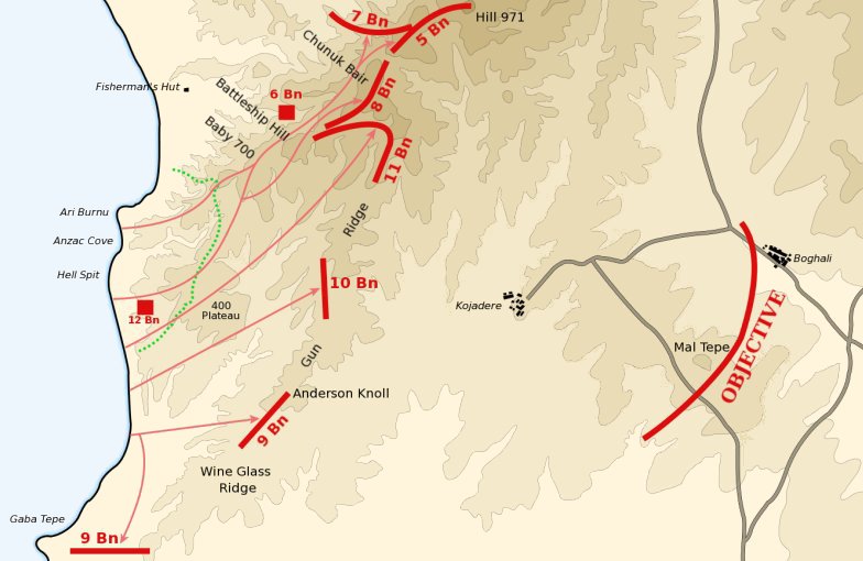
Anzac landing plan April 25 1915
March 13, 2004 · Wikimedia Commons
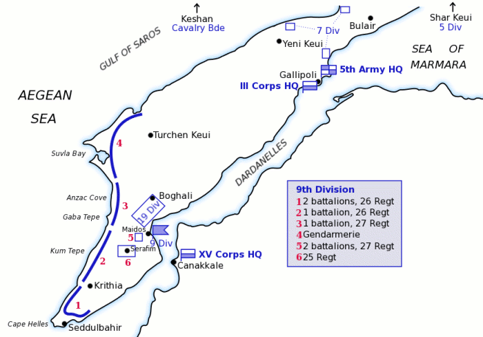
Map of Turkish forces at Gallipoli April 1915
March 12, 2004 · Wikimedia Commons

Baby 700 afternoon April 25 1915
March 29, 2004 · Wikimedia Commons

Map of 400 Plateau Anzac landing
April 18, 2004 · Wikimedia Commons

Map of the Helles war zone of Gallipoli, 1915. Turkish names and equivalent on map: *Alçitepe = Krithia *Aytepe = Hill 138 *Delile Sirti = Fir Tree Spur *Karacaoğlu Tepe = Hill 114 *Kemal Bey Tepe = H
September 16, 2007 · Wikimedia Commons

Battle of Gallipoli - map of Turkish dispositions, April 1915
1915 · Wikimedia Commons

Anzac Cove landing map used by Raymond Leane
1915 · Wikimedia Commons