

Lawrence of Arabia's map, presented to the Eastern Committee of the War Cabinet in November 1918
From the British National Archives
- Date
- 1918
- Mapmaker / publisher
- T. E. Lawrence
- Place
- Arabia
- Archive
- Wikimedia Commons
- Type
- map
- Original size
- 2,048 × 1,923 pixels
Public domain
Reason: a US government work.
This status rests on the map's publication history, as researched by Wikimedia Commons. Check it before commercial use.
Read from: Commons licence category: PD US; no CC BY, CC BY-SA, GFDL or deletion tag on the file page.
Credit line
"Lawrence of Arabia's map, presented to the Eastern Committee of the War Cabinet in November 1918" (1918). T. E. Lawrence, via Wikimedia Commons. Public domain. https://commons.wikimedia.org/wiki/File:Lawrence_of_Arabia%27s_map,_presented_to_the_Eastern_Committee_of_the_War_Cabinet_in_November_1918.jpgNeed maps for a whole project? Add Find Any Map to Claude and ask for this one by its id: 242763.
More like this

MPK1-426 Sykes Picot Agreement Map signed 8 May 1916
1916 · Wikimedia Commons

Map showing the boundaries of Armenia as awarded by President Wilson
1920 · Wikimedia Commons

Map showing approximate distribution of Kurdish tribes in the Ottoman Empire - Mark Sykes, Journal of the Royal Anthropological Society, 1908, p. 452
1908 · Wikimedia Commons
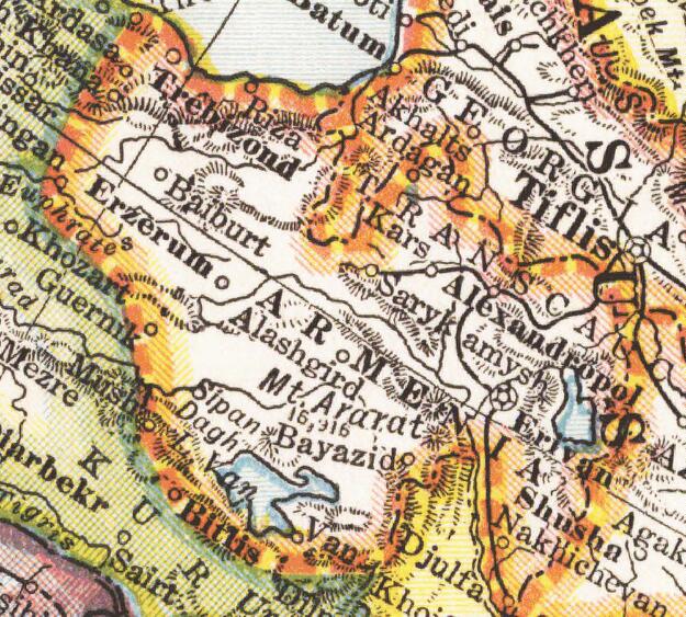
Wilsonian Armenia National Geographic 1921
1921 · Wikimedia Commons

Palestine and Transjordan in Maunsell's map, Pre-World War I British Ethnographical Map of eastern Turkey in Asia, Syria and western Persia 05
1910 · Library of Congress

Middle East.
1918 · Library of Congress

Asia Minor and the Caucasus 1919
1922 · Wikimedia Commons

text removed from:File:"Where The Victims Are.Save The Survivors- 3,950,000 starving people.Campaign for $30,000,000.", ca. 1917 - ca. 1919 - NARA - 512642.jpg
c. 1918 · Wikimedia Commons