

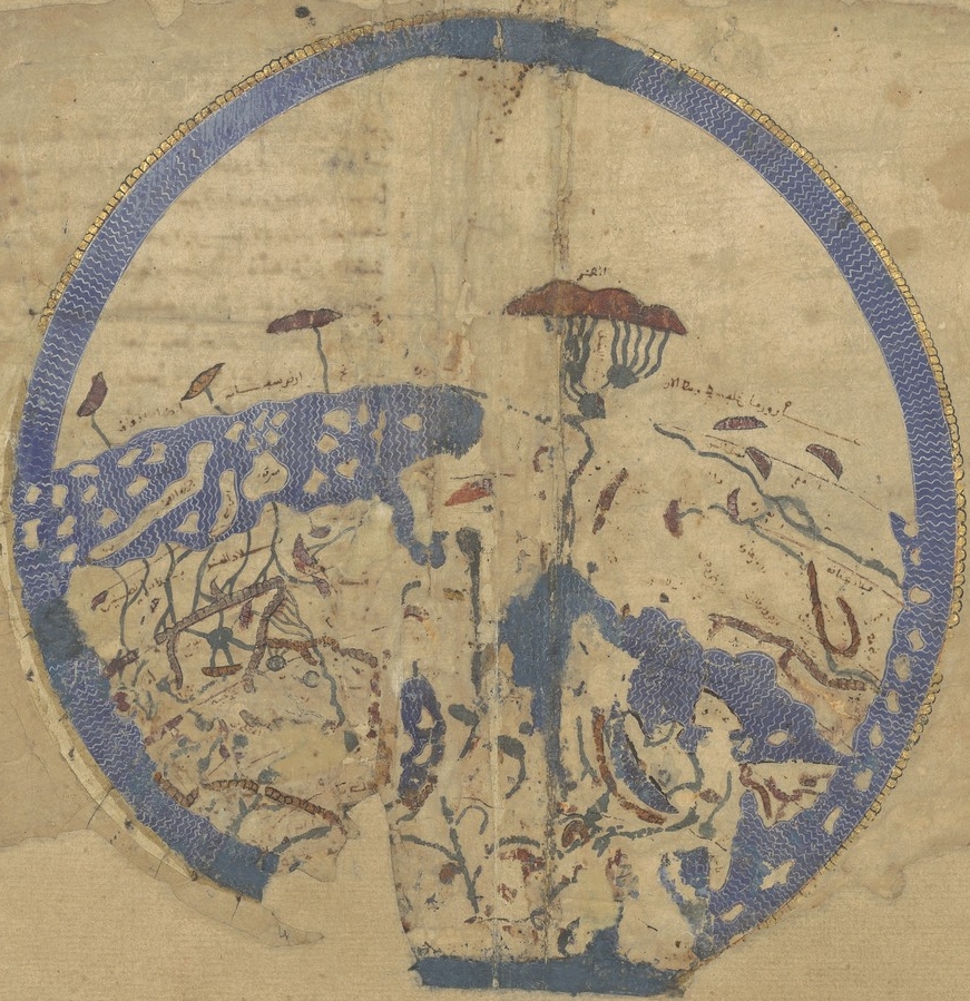
Cours du Nil
Earliest extant map of the Nile in al-Khwārazmī’s Kitāb ṣūrat al- arḍ. Original size 428 / 1037. 33.5 × 41 cm. Blue, green, and brown gouache and red and black ink on paper.
- Mapmaker / publisher
- al-Khwārizmī, Muḥammad ibn Mūsā
- Place
- the Nile
- Archive
- Wikimedia Commons
- Type
- map
- Original size
- 706 × 1,402 pixels
Public domainsafest
Reason: its US copyright has expired (published before 1931).
Read from: Commons licence category: PD US expired; no CC BY, CC BY-SA, GFDL or deletion tag on the file page.
Credit line
"Cours du Nil". al-Khwārizmī, Muḥammad ibn Mūsā, via Wikimedia Commons. Public domain. https://commons.wikimedia.org/wiki/File:Cours_du_Nil.jpgNeed maps for a whole project? Add Find Any Map to Claude and ask for this one by its id: 239281.
More like this

Earliest extant map of the Nile, in al-Khwārazmī’s Kitāb ṣūrat al- arḍ
Wikimedia Commons

Geography 005 - Map of Egypt - 12th century
Wikimedia Commons

Fig. V. — Les Sources du Nil d’après d’Anville. 1752–54
1898 · Wikimedia Commons
Idrisi MS BNF Ar 2221 f 3v-4r
1250–1325 · Wikimedia Commons

Fig. IV. — Les Sources du Nil d’après Delisle. 1708
1898 · Wikimedia Commons

Fig. VII. — État des connaissances sur le Nil blanc en 1842, après les expéditions égyptiennes
1898 · Wikimedia Commons

Geographia ms14887 f80
December 31, 1485 · Wikimedia Commons

Cedid Atlas (Egypt) 1803
1803 · Wikimedia Commons