

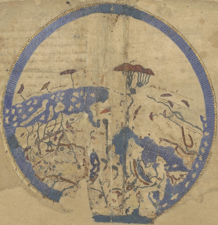
Geography 005 - Map of Egypt - 12th century
Can you see the lighthouse of Alexandria in this beautiful map! It is found in a geography pamhlet from Al-Idrîsî with the cute title: "Amusement for who desires traveling to different regions of the World." Source: twitter.com/Gardien2Phare/status/1517381895708979204
- Mapmaker / publisher
- BioKnowlogy
- Place
- Egypt
- Archive
- Wikimedia Commons
- Type
- map
- Original size
- 1,050 × 706 pixels
Public domain
Reason: public domain: author-FlickrPDM.
This status rests on the map's publication history, as researched by Wikimedia Commons. Check it before commercial use.
Read from: Commons licence category: PD-author-FlickrPDM; no CC BY, CC BY-SA, GFDL or deletion tag on the file page.
Credit line
"Geography 005 - Map of Egypt - 12th century". BioKnowlogy, via Wikimedia Commons. Public domain. https://commons.wikimedia.org/wiki/File:Geography_005_-_Map_of_Egypt_-_12th_century.jpgNeed maps for a whole project? Add Find Any Map to Claude and ask for this one by its id: 238835.
More like this

Geographia ms14887 f80
December 31, 1485 · Wikimedia Commons

Cours du Nil
Wikimedia Commons
Idrisi MS BNF Ar 2221 f 3v-4r
1250–1325 · Wikimedia Commons

Geography 007 - Eastern Mediterranean coastline - 1525
1525 · Wikimedia Commons

NOVA EGYPTI TABULA.
1662 · Wikimedia Commons

Earliest extant map of the Nile, in al-Khwārazmī’s Kitāb ṣūrat al- arḍ
Wikimedia Commons

"A New Map of Egypt" (Egitto Nuova Tabula), depicting the Nile Delta. Pictoral relief of Egypt, detached from La geografia di Claudio Tolomeo Alessandrino, and based on a 1548 edition by Giacomo Gasta
1561 · Wikimedia Commons

Map of Egypt
1600 · Wikimedia Commons