

Cedid Atlas (Egypt) 1803
The Egypt sheet of the 1803 Cedid Atlas (one of 24 sheets in total). It is the first published atlas in the Muslim world, and only 50 copies were printed at the press, as as such it is one of the rarest printed atlases of historical value and of great importance to Middle Eastern history.
- Date
- 1803
- Mapmaker / publisher
- Ottoman Empire
- Place
- Egypt
- Archive
- Wikimedia Commons
- Type
- atlas page
- Original size
- 8,222 × 10,915 pixels
Public domain
Reason: a US government work.
This status rests on the map's publication history, as researched by Wikimedia Commons. Check it before commercial use.
Read from: Commons licence category: PD US; no CC BY, CC BY-SA, GFDL or deletion tag on the file page.
Credit line
"Cedid Atlas (Egypt) 1803" (1803). Ottoman Empire, via Wikimedia Commons. Public domain. https://commons.wikimedia.org/wiki/File:Cedid_Atlas_(Egypt)_1803.jpgNeed maps for a whole project? Add Find Any Map to Claude and ask for this one by its id: 144720.
More like this

Pinkerton's extraordinary 1818 map of Egypt. Covers the region centered on the Nile River from its delta along the Mediterranean south to the Island of Philae and the city of Aswan. Notes numerous cit
1818 · Wikimedia Commons
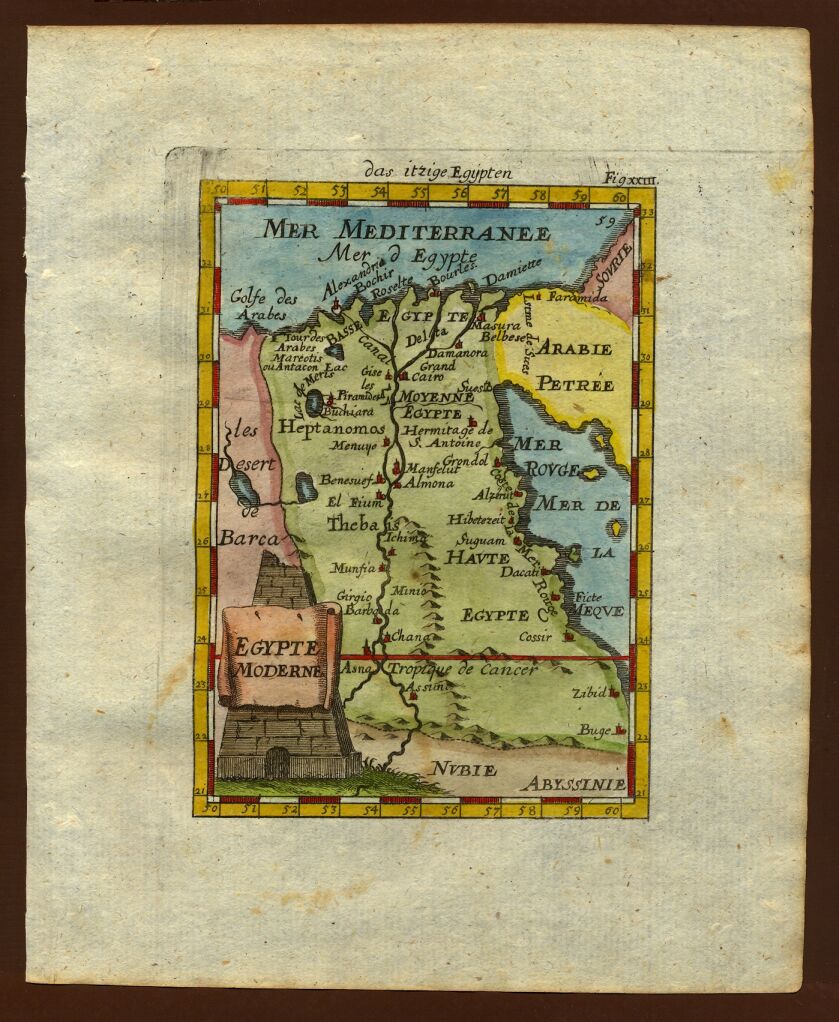
Map of Egypt, 1719
1683–1719 · Wikimedia Commons

NOVA EGYPTI TABULA.
1662 · Wikimedia Commons

Map of Egypt, 1683
1683–1719 · Wikimedia Commons
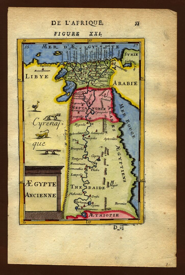
Map of ancient Egypt, 1683
1683–1719 · Wikimedia Commons

Ottoman Egypt and Nubia, 1749
1749 · Wikimedia Commons

L'Egitto Antico e Moderno
Wikimedia Commons

Cedid atlas tercümesi
1803 · 40 sheets