

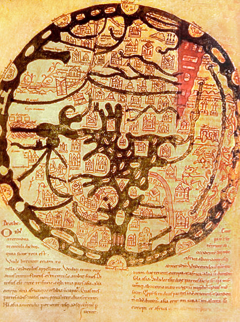
World map ranulf higden
World map with east at top, Jerusalem at center, and the Red Sea shown in red at upper right. Ranulf Higden. 46 by 34 cm
- Mapmaker / publisher
- Ranulf Higden
- Archive
- Wikimedia Commons
- Type
- map
- Original size
- 1,923 × 2,610 pixels
Public domain
Reason: its maker died long enough ago that the copyright has expired.
This status rests on the map's publication history, as researched by Wikimedia Commons. Check it before commercial use.
Read from: Commons licence category: PD Old; no CC BY, CC BY-SA, GFDL or deletion tag on the file page.
Credit line
"World map ranulf higden". Ranulf Higden, via Wikimedia Commons. Public domain. https://commons.wikimedia.org/wiki/File:World_map_ranulf_higden.jpgNeed maps for a whole project? Add Find Any Map to Claude and ask for this one by its id: 20963.
More like this

The mid 15th-century Catalan centered on Jerusalem
1300–1460 · Wikimedia Commons

A map of the world - Latin Psalter (13th-15th C), f.9 - BL Add MS 28681
Wikimedia Commons

Psalter Mappa mundi
1200–1250 · Wikimedia Commons
A map of the known world (mappa mundi) from an 11th century copy of the writings of Isidore of Seville (AD 560-636). East is placed at top, and the Red Sea is shown in red, as usual for such maps. Ima
Wikimedia Commons

Psalter world map
1200–1250 · Wikimedia Commons

Mer des Hystoires World Map
1491 · Unknown

Ca. 1277 World Map
1277 · Wikimedia Commons
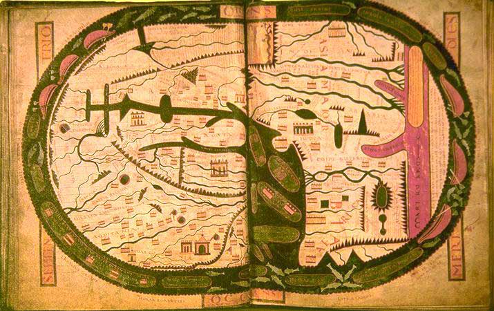
World map.
Wikimedia Commons