

Ca. 1277 World Map
World map depicting climate zones, east on top. Unknown Franco-Flemish illustrator, 1277 or after. Tempera colors, pen and ink, gold leaf, and gold paint on parchment. Leaf: 23.3× 16.4 cm (9 3/16 × 6 7/16 in.). Los Angeles, J. Paul Getty Museum, MS. Ludwig XV 4 (83.MR.174), fol. 177v.
- Date
- 1277
- Mapmaker / publisher
- Franco-Flemish
- Archive
- Wikimedia Commons
- Type
- map
- Original size
- 3,093 × 4,520 pixels
CC0safest
Reason: CC0: dedicated to the public domain.
Read from: Commons licence category: CC-Zero; no CC BY, CC BY-SA, GFDL or deletion tag on the file page.
Credit line
"Ca. 1277 World Map" (1277). Franco-Flemish, via Wikimedia Commons. CC0. https://commons.wikimedia.org/wiki/File:Ca._1277_World_Map.jpgNeed maps for a whole project? Add Find Any Map to Claude and ask for this one by its id: 20773.
More like this

A Map of the Southern Zones
Wikimedia Commons

Abbo of Fleury, Map of the world
1833 · Wikimedia Commons

A map of the world - Latin Psalter (13th-15th C), f.9 - BL Add MS 28681
Wikimedia Commons

World map published in Somnium Scipionis exposito
1483–1501 · 2 sheets

Mappemonde-Liber-floridus-BNF-fo-45
1260 · Wikimedia Commons

Maps in a Work of Isidor
Wikimedia Commons

Psalter Mappa mundi
1200–1250 · Wikimedia Commons
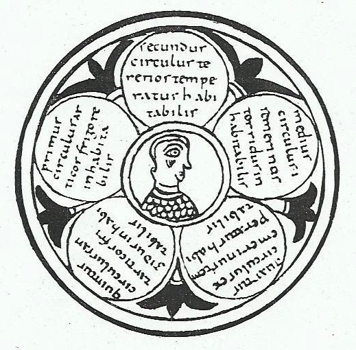
Illustration of the five zones of the earth taken from De Natura Rerum by Isidore of Seville. This led to use of the nickname of the book as "The book of wheels" in a poetic letter from the Visigoth k
1960 · Wikimedia Commons