

Western Han Mawangdui Silk Map
A Chinese topographic map (with the south positioned at the top) from Mawangdui tomb 3; dated to the early Western Han period (183–168 BC); length is 96 cm; width is 96 cm; the map is made of ink on silk. It is now housed in the Hunan Provincial Museum, Changsha. The map depicts a large territory in southern China spanning from the imperial fiefdom of Changsha (a semi-autonomous kingdom within the Han Empire, now modern-day Hunan) to the independent and sometimes hostile Kingdom of Nanyue in what is now modern-day Guangdong and northern Vietnam.
- Mapmaker / publisher
- Anonymous ancient Chinese cartographer
- Place
- Nanyue
- Archive
- Wikimedia Commons
- Type
- map
- Original size
- 3,675 × 3,549 pixels
Public domain
Reason: its maker died more than 100 years ago.
This status rests on the map's publication history, as researched by Wikimedia Commons. Check it before commercial use.
Read from: Commons licence category: PD-old-100-expired; no CC BY, CC BY-SA, GFDL or deletion tag on the file page.
Credit line
"Western Han Mawangdui Silk Map". Anonymous ancient Chinese cartographer, via Wikimedia Commons. Public domain. https://commons.wikimedia.org/wiki/File:Western_Han_Mawangdui_Silk_Map.JPGNeed maps for a whole project? Add Find Any Map to Claude and ask for this one by its id: 144619.
More like this

Mawangdui Topographic Map
Wikimedia Commons

Mawangdui Military Map
Wikimedia Commons
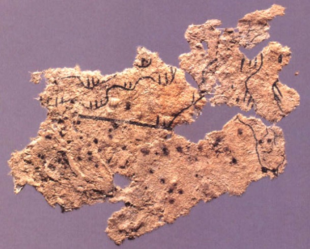
Fangmatan paper map
Wikimedia Commons

Nan yue quan tu
1860 · Library of Congress

The Composite Map of the Ming Empire (Da Ming Hunyi Tu) reflects the political situation in AD 1389 but was likely painted much later. Original Chinese labels were later covered with Manchu on paper s
1389 · Wikimedia Commons

Huang He nan he tu.
1750 · Library of Congress

Guang yu tu - er juan
1558 · Huaihua, plate 29

Da Ming yu di tu
1547 · Anhui, plate 3