

Mawangdui Topographic Map
Silk map showing the topographic features of the area covered by the Han dynasty state of Changsha and the kingdom of Nanyue, corresponding to parts of the modern provinces of Hunan, Guangdong and Guangxi. Found in 1973 in Tomb 3 of the Mawangdui Western Han tomb complex. Datable to circa 168 BC. Map was folded five times into 32 sections which later disintegrated along the folds into thirty-two sheets. Dimensions: 96 × 96 cm. Scale: approximately 1:18,000. Oriented with south to the top. See also Mawangdui Military Map.
- Place
- Nanyue
- Archive
- Wikimedia Commons
- Type
- map
- Original size
- 2,929 × 2,889 pixels
Public domain
Reason: public domain: scan (PD-old-70).
This status rests on the map's publication history, as researched by Wikimedia Commons. Check it before commercial use.
Read from: Commons licence category: PD-scan (PD-old-70); no CC BY, CC BY-SA, GFDL or deletion tag on the file page.
Credit line
"Mawangdui Topographic Map". Wikimedia Commons. Public domain. https://commons.wikimedia.org/wiki/File:Mawangdui_Topographic_Map.jpgNeed maps for a whole project? Add Find Any Map to Claude and ask for this one by its id: 144621.
More like this

Mawangdui Military Map
Wikimedia Commons

Western Han Mawangdui Silk Map
Wikimedia Commons
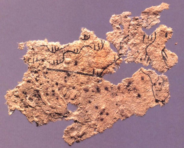
Fangmatan paper map
Wikimedia Commons

Ming Tombs 1757-1795
1757–1795 · Library of Congress

Nan yue quan tu
1860 · Library of Congress

Da Ming yu di tu
1547 · Anhui, plate 3

A map of Guilin city wall of the Southern Song Dynasty, inscripted in Mount Yingwu in 1272.
1272 · Wikimedia Commons

Guang yu tu - er juan
1558 · Huaihua, plate 29