

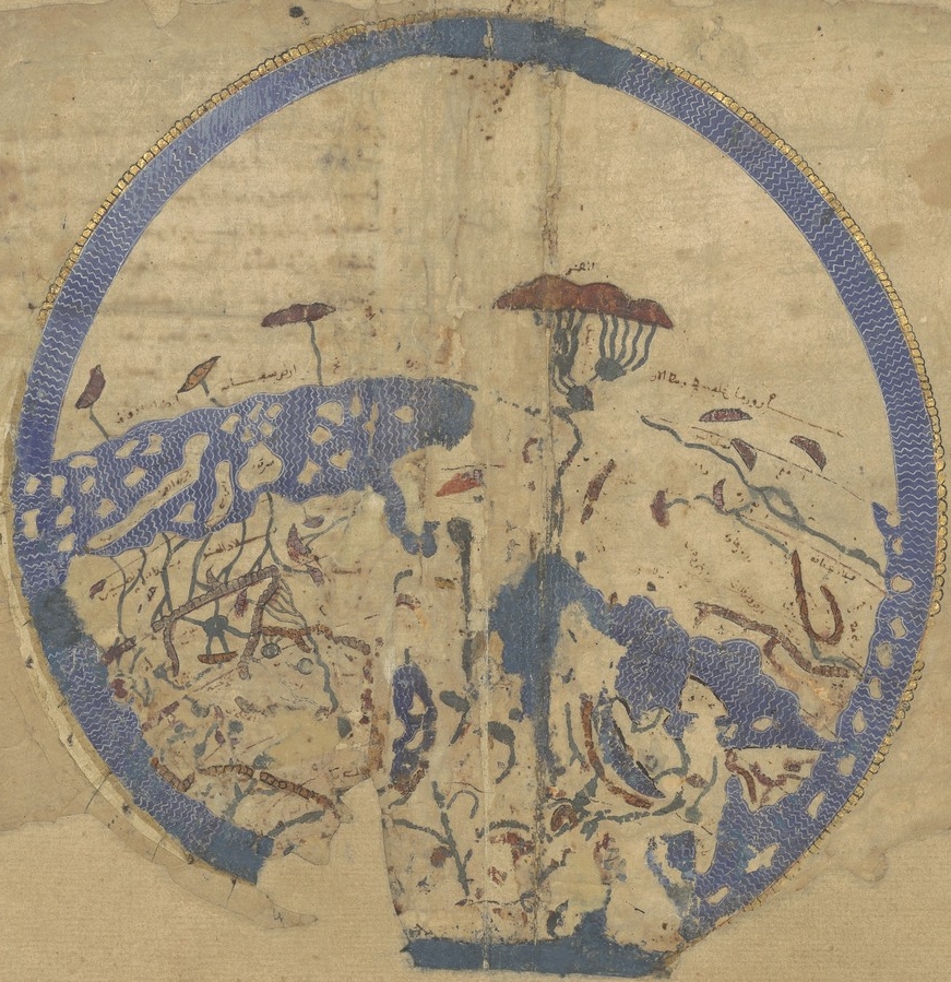
Small Idrisi
- Date
- 1926
- Place
- the world before Columbus
- Archive
- Wikimedia Commons
- Type
- map
- Original size
- 11,088 × 5,488 pixels
Public domainsafest
Reason: its maker died more than 80 years ago.
Read from: Commons licence category: PD-old-80-expired; no CC BY, CC BY-SA, GFDL or deletion tag on the file page.
Credit line
"Small Idrisi" (1926). Wikimedia Commons. Public domain. https://commons.wikimedia.org/wiki/File:Small_Idrisi.jpgNeed maps for a whole project? Add Find Any Map to Claude and ask for this one by its id: 145442.
More like this

Tabula Rogeriana 1929 copy by Konrad Miller
1926 · Wikimedia Commons

Carte générale du globe tirée de la géographie d'El-Edrisi, milieu du XIIe s. de l'ère vulgaire
2 sheets

Charta Rogeriana Weltkarte des Idrisi vom Jahr 1154 n.Ch
1928 · Konrad Miller
Idrisi MS BNF Ar 2221 f 3v-4r
1250–1325 · Wikimedia Commons

1911 EB Map Fig 16
c. 1911 · Wikimedia Commons

Copy of Al Idrisi Tabula Rogeriana with arabic names transliterated into the roman alphabet. The original has north at the bottom, so it appears "upside down". Please do not rotate it to have north at
1300–1929 · Wikimedia Commons

Universal Map 2, Al-Idrisi (1100-1165)
Wikimedia Commons

Karte Isidor
1898 · Wikimedia Commons