

Sketch Map of British Guiana
Robert Hermann Schomburgk (1804–65) was a British naturalist and surveyor known for his pioneering surveys of British Guiana (present-day Guyana). Born and educated in Germany, he traveled to the West Indies in 1830 where he completed a survey of one of the Virgin Islands that was published in the Journal of the Royal Geographical Society. In 1835–39, under the direction of the Royal Geographical Society, he explored the Essequibo and Berbice Rivers in northern South America and completed a survey of British Guiana. Upon returning to Europe, he convinced the British government of the need to demarcate the boundaries of British Guiana. In April 1840, he was appointed commissioner for surveying and marking out the boundaries, which he completed in 1841–43. His proposals, known as the “Schomburgk line,” figured prominently in the disputes of the late-19th century between Great Britain and Brazil and Venezuela over the borders of British Guiana. This “sketch map” by Schomburgk, published in London in 1840, shows the competing claims of Britain, Brazil, and Venezuela. At the top of the map are sketches of the port and lighthouse of Georgetown, Guyana and of New Amsterdam, Guyana (capit
- Date
- 1840
- Mapmaker / publisher
- Schomburgk, Robert H. (Robert Hermann), Sir, 1804-1865
- Place
- Guyana
- Archive
- Wikimedia Commons
- Type
- map
- Original size
- 1,024 × 1,799 pixels
Public domainsafest
Reason: its maker died more than 100 years ago, and a faithful scan of a flat work adds no new copyright.
Read from: Commons licence category: PD-Art (PD-old-100); no CC BY, CC BY-SA, GFDL or deletion tag on the file page.
Credit line
"Sketch Map of British Guiana" (1840). Schomburgk, Robert H. (Robert Hermann), Sir, 1804-1865, via Wikimedia Commons. Public domain. https://commons.wikimedia.org/wiki/File:Sketch_Map_of_British_Guiana_WDL11335.pngNeed maps for a whole project? Add Find Any Map to Claude and ask for this one by its id: 306241.
More like this

Map of British Guiana
1876 · Wikimedia Commons

British Guiana - 1908 - WDL
1908 · Wikimedia Commons

Dutch colonies Guyana
1888 · Wikimedia Commons

Map of British Guiana. shewing the parochial divisions, as well as the present extent of cultivation of the staple productions, and the tracts of such that have been abandoned within the last 30 yrs. by. J. Hadfield,. Georgetown Demerara, 1rst august 1838
1838 · Wikimedia Commons

Map of the Colony of Berbice Located in Batavian Guiana in America between the Colonies of Demerara and Suriname
1802 · Wikimedia Commons

English guiana guayana inglesa y Venezuela en 1831
1831 · Wikimedia Commons
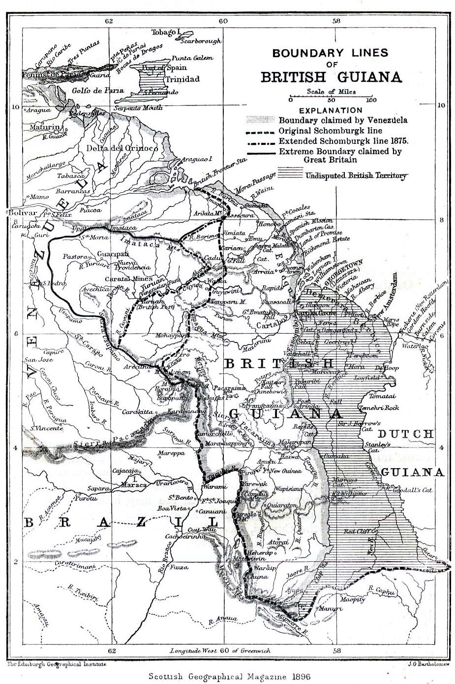
Boundary lines of British Guiana 1896
1896 · Wikimedia Commons

Mapa de las Guayanas en 1829 (Gran Colombia, Guayanas britanica, Holandesa y Francesa)
1829 · Wikimedia Commons