

Map of British Guiana
- Date
- 1876
- Place
- Guyana
- Archive
- Wikimedia Commons
- Type
- map
- Original size
- 3,101 × 4,298 pixels
Public domainsafest
Reason: its maker died more than 70 years ago.
Read from: Commons licence category: PD-old-70-expired; no CC BY, CC BY-SA, GFDL or deletion tag on the file page.
Credit line
"Map of British Guiana" (1876). Wikimedia Commons. Public domain. https://commons.wikimedia.org/wiki/File:Map_of_British_Guiana_(1876).jpgNeed maps for a whole project? Add Find Any Map to Claude and ask for this one by its id: 306242.
More like this

Map of British Guiana. shewing the parochial divisions, as well as the present extent of cultivation of the staple productions, and the tracts of such that have been abandoned within the last 30 yrs. by. J. Hadfield,. Georgetown Demerara, 1rst august 1838
1838 · Wikimedia Commons

Dutch colonies Guyana
1888 · Wikimedia Commons
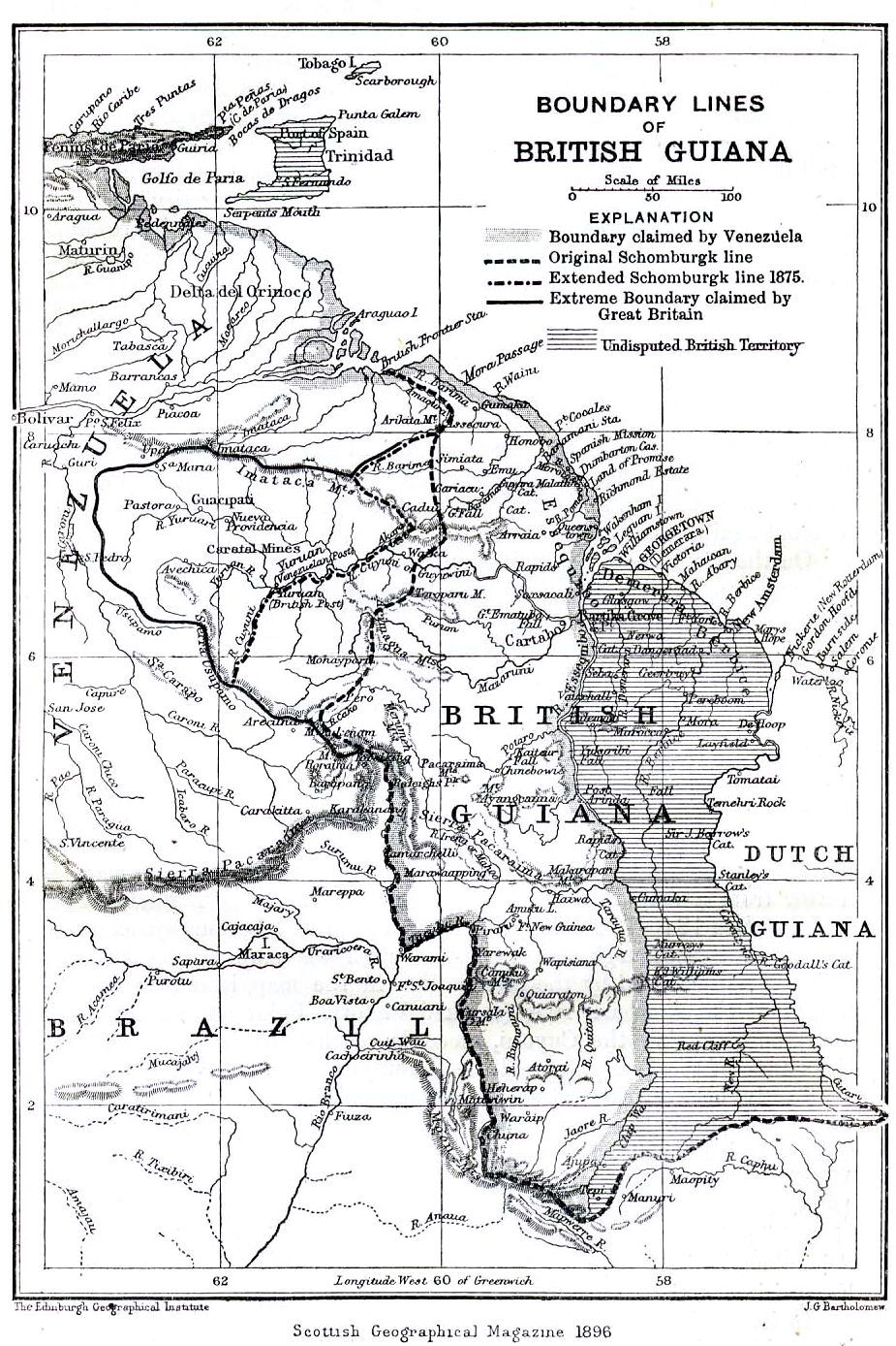
Boundary lines of British Guiana 1896
1896 · Wikimedia Commons

Map of Guiana, 1911
1911 · Wikimedia Commons

1876 Map of Suriname
1876 · Wikimedia Commons

British Guiana - 1908 - WDL
1908 · Wikimedia Commons

Carte de guyane
1700–1799 · Wikimedia Commons

Mapa de las Guayanas en 1829 (Gran Colombia, Guayanas britanica, Holandesa y Francesa)
1829 · Wikimedia Commons