

British Guiana - 1908 - WDL
British Guiana, 1908 Creator: Great Britain. Ordnance Survey Surveyor: Anderson, Charles Wilgress "This map, prepared and printed in 1908 at the office of the Ordnance Survey, Southampton, United Kingdom, provides a relatively detailed view of the geography of British Guiana (present-day Guyana), one of only two British colonies on the mainland of South and Central America (the other being British Honduras). A note indicates that the portion of the map north of 5° North latitude is from a map prepared by the government surveyor of British Guiana, while the remainder of the map “has been compiled from various sources and is less reliable.” Much of the territory in the south of the country was as yet unexplored. Bordered to the west by Venezuela, to the south by Brazil, and to the east by Dutch Guiana (present-day Suriname), British Guiana was the subject of a longstanding border dispute with Venezuela, in which the United States became involved and that was settled by arbitration in 1899. The map reflects the settlement, which awarded Britain most of the disputed territory but gave Venezuela undisputed control over the Orinoco River. The map shows international borders, cities and t
- Date
- 1908
- Mapmaker / publisher
- Great Britain. Ordnance Survey
- Place
- South America
- Archive
- Wikimedia Commons
- Type
- map
- Original size
- 4,080 × 6,510 pixels
Public domain
Reason: a US government work.
This status rests on the map's publication history, as researched by Wikimedia Commons. Check it before commercial use.
Read from: Commons licence category: PD US; no CC BY, CC BY-SA, GFDL or deletion tag on the file page.
Credit line
"British Guiana - 1908 - WDL" (1908). Great Britain. Ordnance Survey, via Wikimedia Commons. Public domain. https://commons.wikimedia.org/wiki/File:British_Guiana_-_1908_-_WDL.pngNeed maps for a whole project? Add Find Any Map to Claude and ask for this one by its id: 306938.
More like this

Map of British Guiana. shewing the parochial divisions, as well as the present extent of cultivation of the staple productions, and the tracts of such that have been abandoned within the last 30 yrs. by. J. Hadfield,. Georgetown Demerara, 1rst august 1838
1838 · Wikimedia Commons

Map of British Guiana
1876 · Wikimedia Commons

Mapa de las Guayanas en 1829 (Gran Colombia, Guayanas britanica, Holandesa y Francesa)
1829 · Wikimedia Commons

Map of Guiana, 1911
1911 · Wikimedia Commons

Dutch colonies Guyana
1888 · Wikimedia Commons

English guiana guayana inglesa y Venezuela en 1831
1831 · Wikimedia Commons
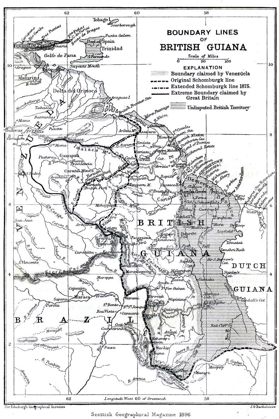
Boundary lines of British Guiana 1896
1896 · Wikimedia Commons

Map of the Whole of Guiana or the Savage Coast, and the Spanish West Indies at the Northern End of South America
1720–1769 · Wikimedia Commons