

Rivers Canals and Railways of Great Britain 1831
Frontispiece of the book
- Date
- 1831
- Mapmaker / publisher
- Joseph Priestley
- Place
- England and Wales
- Archive
- Wikimedia Commons
- Type
- map
- Original size
- 3,976 × 5,104 pixels
Public domain
Reason: a US government work.
This status rests on the map's publication history, as researched by Wikimedia Commons. Check it before commercial use.
Read from: Commons licence category: PD US; no CC BY, CC BY-SA, GFDL or deletion tag on the file page.
Credit line
"Rivers Canals and Railways of Great Britain 1831" (1831). Joseph Priestley, via Wikimedia Commons. Public domain. https://commons.wikimedia.org/wiki/File:Rivers_Canals_and_Railways_of_Great_Britain_1831.jpgNeed maps for a whole project? Add Find Any Map to Claude and ask for this one by its id: 244534.
More like this

A new map of Great Britain particulary shewing the inland navigation / by the canals and principal rivers with the railways finished and in progress and the principal and secondary stations
1841 · Wikimedia Commons

(1811) MAP OF ENGLAND AND WALES
1811 · Wikimedia Commons

Fairburn's Map of the United Kingdom of Great Britain and Ireland exhibiting The Cities, Market Towns and Principal Villages, Course of the Rivers and Navigable Canals with the Direct and Principal Cross Roads and Distances marked between the Towns. Scales British Statute Miles. 100 =Om. 153
1802 · Wikimedia Commons

Map exhibiting the navigable rivers, the completed & proposed canals & rail-roads of Great Britain & Ireland - with the coal fields, light houses etc.
1861 · Library of Congress
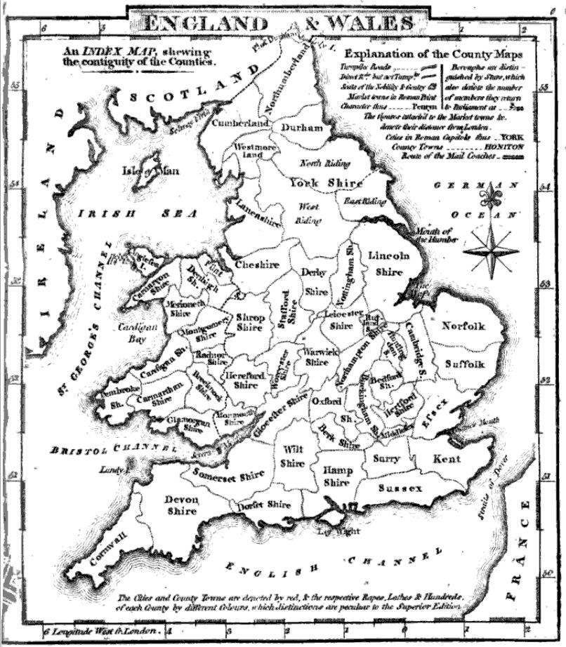
County map of England and Wales
1824 · Wikimedia Commons

Aikin(1800) p012 - England and Wales
1800 · Wikimedia Commons

Carte des canaux de l'Angleterre: pour servir aux mémoires sur les travaux publics de ce pays / par J.h Dutens, ingénieur en chef directeur des Ponts et chaussées; gravé par E. Collin
1819 · Pour servir aux mémoires sur les travaux publics de ce pays - par J.h Dutens, ingénieur en chef directeur des Ponts et chaussées ; gravé par E. Collin, plate 1 of 2

A new map of England & Wales from the best authorities
1841 · Wikimedia Commons