

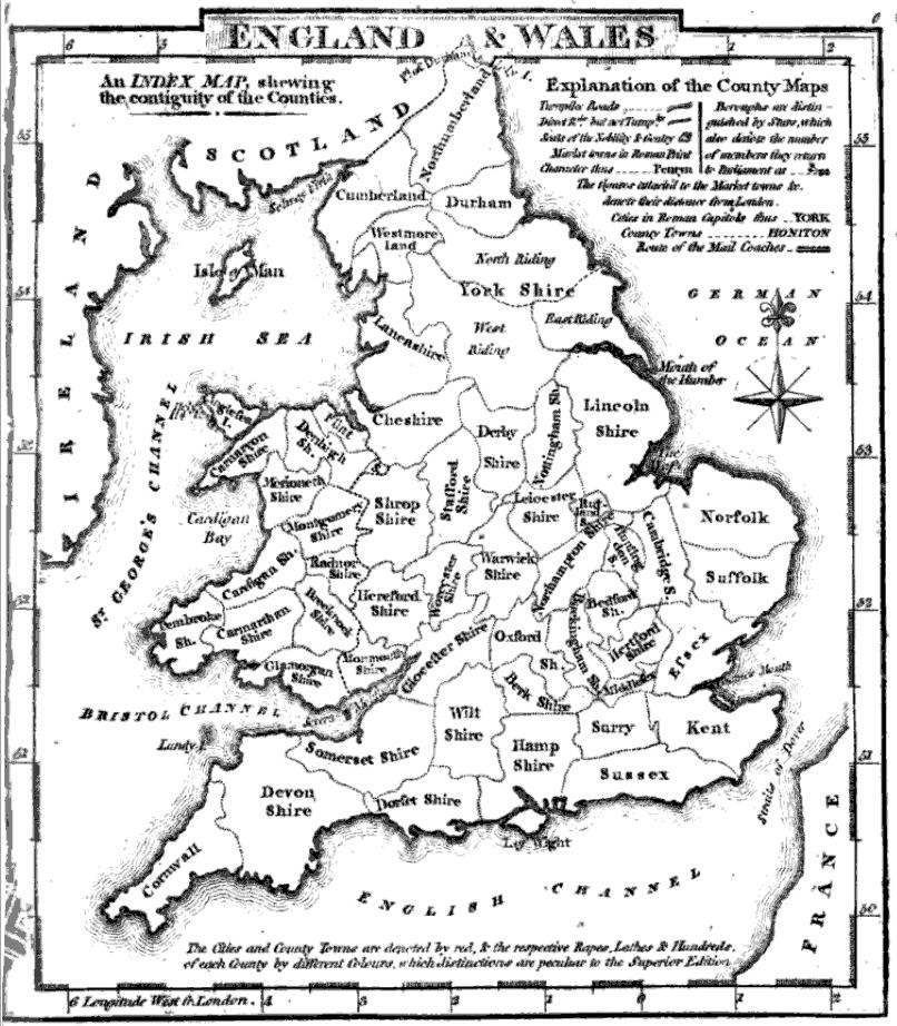
Aikin(1800) p012 - England and Wales
- Date
- 1800
- Place
- England and Wales
- Archive
- Wikimedia Commons
- Type
- map
- Original size
- 2,688 × 2,183 pixels
Public domainsafest
Reason: its maker died more than 100 years ago.
Read from: Commons licence category: PD-old-100-expired; no CC BY, CC BY-SA, GFDL or deletion tag on the file page.
Credit line
"Aikin(1800) p012 - England and Wales" (1800). Wikimedia Commons. Public domain. https://commons.wikimedia.org/wiki/File:Aikin(1800)_p012_-_England_and_Wales.jpgNeed maps for a whole project? Add Find Any Map to Claude and ask for this one by its id: 244472.
More like this

(1811) MAP OF ENGLAND AND WALES
1811 · Wikimedia Commons

A New map of England & Wales divided into counties
1781 · Wikimedia Commons

EW(1884) p.697 - England and Wales - A + C Black (pub)
1884 · Wikimedia Commons

EW(1884) p.004 - Sketch map of England and Wales - A + C Black (pub)
1884 · Wikimedia Commons
County map of England and Wales
1824 · Wikimedia Commons

Accurate Map of the District of Great Britain called England & Wales, &c, from the latest & most correct surveys
c. 1794 · Wikimedia Commons

An accurate map of England and Wales with the principal roads from the best authorities. NYPL1404022
1814 · New York Public Library

A new and compendious map of England and Wales, wherein all the great, direct and cross roads are carefully inserted
1788 · New York Public Library