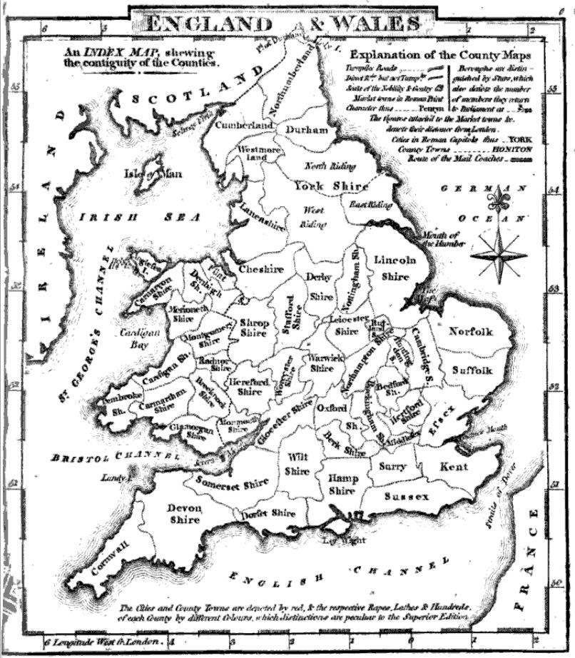

County map of England and Wales
- Date
- 1824
- Mapmaker / publisher
- George Carrington Gray
- Place
- England and Wales
- Archive
- Wikimedia Commons
- Type
- map
- Original size
- 806 × 922 pixels
Public domain
Reason: its maker died long enough ago that the copyright has expired.
This status rests on the map's publication history, as researched by Wikimedia Commons. Check it before commercial use.
Read from: Commons licence category: PD Old; no CC BY, CC BY-SA, GFDL or deletion tag on the file page; permission field: PD Google books.
Credit line
"County map of England and Wales" (1824). George Carrington Gray, via Wikimedia Commons. Public domain. https://commons.wikimedia.org/wiki/File:Gray1824.englandwales.jpgNeed maps for a whole project? Add Find Any Map to Claude and ask for this one by its id: 244515.
More like this

(1811) MAP OF ENGLAND AND WALES
1811 · Wikimedia Commons

A New map of England & Wales divided into counties
1781 · Wikimedia Commons

An accurate map of England and Wales with the principal roads from the best authorities. NYPL1404022
1814 · New York Public Library

Aikin(1800) p012 - England and Wales
1800 · Wikimedia Commons

A new and compendious map of England and Wales, wherein all the great, direct and cross roads are carefully inserted
1788 · New York Public Library

County map of England and Wales.
1863 · 2 sheets

A new map of England & Wales from the best authorities
1841 · Wikimedia Commons

England and Wales. By Sidney Hall. London, published by Longman, Rees, Orme, Brown & Green, Paternoster Row, May 1828.
1828 · Wikimedia Commons