
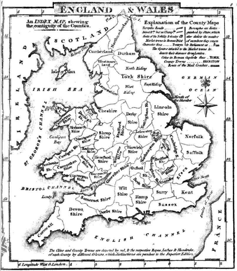
County map of England and Wales.
Includes extra numbered maps.
- Date
- 1863
- Mapmaker / publisher
- Scan by NYPL
- Place
- England and Wales
- Archive
- New York Public Library (via Wikimedia Commons)
- Type
- atlas page
- Sheets
- 2
- Original size
- 4,007 × 5,053 pixels
Public domainsafest
Reason: its US copyright has expired (published before 1931).
Read from: Commons licence category: PD US expired; no CC BY, CC BY-SA, GFDL or deletion tag on the file page.
Credit line
"County map of England and Wales." (1863). Scan by NYPL. New York Public Library, via Wikimedia Commons. Public domain. https://commons.wikimedia.org/wiki/File:County_map_of_England_and_Wales_(NYPL_b13663520-1510830)_(cropped).jpgNeed maps for a whole project? Add Find Any Map to Claude and ask for this one by its id: 19466.
All 2 sheets
Each sheet links to its file at the archive; the image link is the full-size scan.


More like this

(Composite of) England and Wales. Edinburgh. Published by A. & C. Black. Engraved by S. Hall, Bury Strt. Bloombry.
Wikimedia Commons
County map of England and Wales
1824 · Wikimedia Commons

A new map of England & Wales from the best authorities
1841 · Wikimedia Commons

A new and compendious map of England and Wales, wherein all the great, direct and cross roads are carefully inserted
1788 · New York Public Library

County map of Scotland; Shetland Islands inset; Ireland in provinces and counties.
1863 · 2 sheets

England and Wales.
1585 · Wikimedia Commons

EW(1884) p.697 - England and Wales - A + C Black (pub)
1884 · Wikimedia Commons

Crochley's railway and station Map of England and Wales, with part of Scotland.
6 sheets