

Red Turban regional powers 1350–1360
Map of eastern China displaying the limits of authority of various regional players during the Red Turban Rebellions, 1350–1360. *:File:China blank map grey.svg *Mote & Twitchett (2008) The Cambridge History of China, Volume 7: The Ming Dynasty, 1368–1644, Part I p. 19.
- Date
- 2026
- Mapmaker / publisher
- Joko2468
- Place
- China
- Archive
- Wikimedia Commons
- Type
- map
- Original size
- 2,879 × 3,419 pixels
CC0safest
Reason: CC0: dedicated to the public domain.
Read from: Commons licence category: CC-Zero; no CC BY, CC BY-SA, GFDL or deletion tag on the file page.
Credit line
"Red Turban regional powers 1350–1360" (2026). Joko2468, via Wikimedia Commons. CC0. https://commons.wikimedia.org/wiki/File:Red_Turban_regional_powers_1350%E2%80%931360.pngNeed maps for a whole project? Add Find Any Map to Claude and ask for this one by its id: 239566.
More like this

The Composite Map of the Ming Empire (Da Ming Hunyi Tu) reflects the political situation in AD 1389 but was likely painted much later. Original Chinese labels were later covered with Manchu on paper s
1389 · Wikimedia Commons

Map of Ming Chinese empire 1415-Tibet
1935 · Wikimedia Commons

Guang yu tu - er juan
1558 · Jiangsu, plate 32
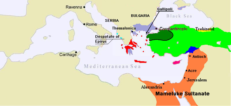
1350 Mediterranean Sea
June 13, 2007 · Wikimedia Commons

Empire of the Great Khan (Catayo) according to the Catalan Atlas
1375 · Wikimedia Commons

C. 1360 Europe and Western Asia
c. 1911 · Wikimedia Commons

Guang yu tu - er juan
1558 · Jiangsu, plate 40

C. 1355 Southeastern Europe
c. 1911 · Wikimedia Commons