

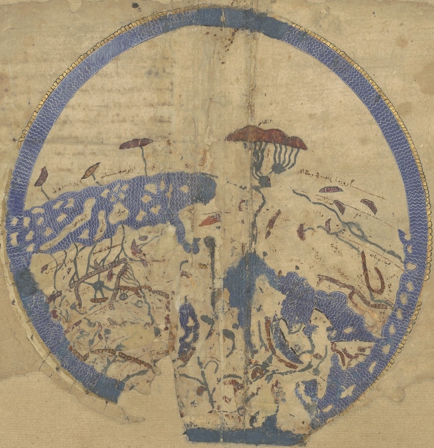
PSM V16 D515 Edrisi map 1154 ad
Edrisi map 1154 AD
- Date
- 1879–1880
- Archive
- Wikimedia Commons
- Type
- map
- Original size
- 1,637 × 1,616 pixels
Public domain
Reason: its maker died long enough ago that the copyright has expired.
This status rests on the map's publication history, as researched by Wikimedia Commons. Check it before commercial use.
Read from: Commons licence category: PD Old; no CC BY, CC BY-SA, GFDL or deletion tag on the file page.
Credit line
"PSM V16 D515 Edrisi map 1154 ad" (1879–1880). Wikimedia Commons. Public domain. https://commons.wikimedia.org/wiki/File:PSM_V16_D515_Edrisi_map_1154_ad.jpgNeed maps for a whole project? Add Find Any Map to Claude and ask for this one by its id: 20905.
More like this

PSM V16 D513 Arab map of the world 1009 ad
1879–1880 · Wikimedia Commons

1911 EB Map Fig 16
c. 1911 · Wikimedia Commons

PSM V16 D512 Map of the world 10th century
1879–1880 · Wikimedia Commons

PSM V16 D508 Map of ptolemy 150 ad
1879–1880 · Wikimedia Commons

Carte générale du globe tirée de la géographie d'El-Edrisi, milieu du XIIe s. de l'ère vulgaire
2 sheets

PSM V16 D507 Map from the time of hipparcus 100 bc
1879–1880 · Wikimedia Commons
Idrisi MS BNF Ar 2221 f 3v-4r
1250–1325 · Wikimedia Commons

PSM V16 D257 Erathostenes map of the world
1879–1880 · Wikimedia Commons