

Primrose Hill 1841
Primrose Hill - from Davies Map of London 1841
- Date
- 1841
- Mapmaker / publisher
- Benjamin Rees Davies
- Place
- London
- Archive
- Wikimedia Commons
- Type
- map
- Original size
- 1,376 × 869 pixels
Public domainsafest
Reason: its maker died more than 70 years ago.
Read from: Commons licence category: PD-old-70-expired; no CC BY, CC BY-SA, GFDL or deletion tag on the file page.
Credit line
"Primrose Hill 1841" (1841). Benjamin Rees Davies, via Wikimedia Commons. Public domain. https://commons.wikimedia.org/wiki/File:Primrose_Hill_1841.pngNeed maps for a whole project? Add Find Any Map to Claude and ask for this one by its id: 291833.
More like this

Environs of London Davies map 1841
1841 · Wikimedia Commons
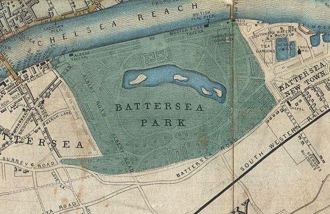
Detail showing Battersea Park from "Davies's New Map of the British Metropolis, The Boundaries of the Boroughs, County Court Districts, Railways, and Modern Improvements.
1852 · 1852 Davies Case Map or Pocket Map of London

Plan of the Regent's Park - Shepherd, Metropolitan Improvements (1828), p346
1828 · Plate 346

Clerkenwell 1805 Cartographer; Tyrer, James
1805 · Wikimedia Commons

The Kensington Hippodrome, 1841
May 16, 2012 · Wikimedia Commons

Greenwood 1827 cropped
1827 · Wikimedia Commons

London engraved by J. & C. Walker in 1845 from a map by R Creighton
1845 · Wikimedia Commons

Map of City of London and its Environs
1869–1880 · Sheet 016, Ordnance Survey, 1869-1880