

Greenwood 1827 cropped
Pimlico, from Greenwood's 1827 map of London
- Date
- 1827
- Mapmaker / publisher
- Greenwood
- Place
- London
- Archive
- Wikimedia Commons
- Type
- map
- Original size
- 741 × 800 pixels
Public domainsafest
Reason: its maker died more than 100 years ago, and a faithful scan of a flat work adds no new copyright.
Read from: Commons licence category: PD-Art (PD-old-100); no CC BY, CC BY-SA, GFDL or deletion tag on the file page.
Credit line
"Greenwood 1827 cropped" (1827). Greenwood, via Wikimedia Commons. Public domain. https://commons.wikimedia.org/wiki/File:Greenwood_1827_cropped.jpgNeed maps for a whole project? Add Find Any Map to Claude and ask for this one by its id: 291784.
More like this

Detail showing Battersea Park from "A Map of London made from an actual survey in the years 1824, 1825 & 1826
1830 · 1830londonSW

Mouth of the River Heathwall
1830 · Wikimedia Commons

London Greenwood 1827
1827 · Wikimedia Commons

North Southwark 1830
1830 · Wikimedia Commons
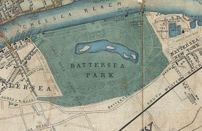
Detail showing Battersea Park from "Davies's New Map of the British Metropolis, The Boundaries of the Boroughs, County Court Districts, Railways, and Modern Improvements.
1852 · 1852 Davies Case Map or Pocket Map of London

A new and correct map of London, Westminster and Southwark: exhibiting the various imporvements, to the year 1820 (Second edition with the intended street from Carlton house to the Regents Park)
1820 · Wikimedia Commons

A new Plan of London and Westminster with the borough of Southwark 1825, published by James Wyld,.
1825 · Wikimedia Commons

OS Millbank Tate etc 2
August 9, 2012 · Wikimedia Commons