

Moorefield Battlefield West Virginia
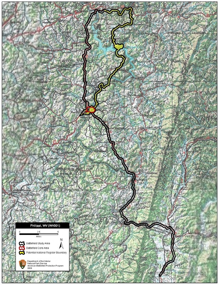
Map of battlefield core and study areas. The ABPP expanded the Study Area to include the Federal approach route from New Creek and the location of a flank attack against the Confederate position near Moorefield. The Federal advance on Moorefield closely follows modern Highway 220 and Route 28. The Federal flanking maneuver, which began in New Creek, followed Highway 50 to County Route 10, and then progressed down a series of smaller country roads before finally linking up with Route 55 to merge onto Cunningham Lane. In addition, the Study Area was also revised to include two separate Confederate retreat routes along Highway 220 and Route 55. The Core Area was also expanded to include terrain covered in the moving cavalry fight.
- Date
- February 2, 2010
- Mapmaker / publisher
- American Battlefield Protection Program
- Archive
- Wikimedia Commons
- Type
- map
- Original size
- 840 × 1,100 pixels
Public domainsafest
Reason: a US government work.
Read from: Commons licence category: PD US Government; no CC BY, CC BY-SA, GFDL or deletion tag on the file page.
Credit line
"Moorefield Battlefield West Virginia" (February 2, 2010). American Battlefield Protection Program, via Wikimedia Commons. Public domain. https://commons.wikimedia.org/wiki/File:Moorefield_Battlefield_West_Virginia.jpgNeed maps for a whole project? Add Find Any Map to Claude and ask for this one by its id: 1222.
More like this
Philippi Battlefield West Virginia
February 2, 2010 · Wikimedia Commons

Rich Mountain Battlefield West Virginia
February 2, 2010 · Wikimedia Commons

Summit Point Battlefield West Virginia
February 2, 2010 · Wikimedia Commons

Cheat Mountain Battlefield West Virginia
February 2, 2010 · Wikimedia Commons

Folck's Mill Battlefield Maryland
January 21, 2010 · Wikimedia Commons

Greenbrier River Battlefield West Virginia
2010 · Wikimedia Commons

Kernstown II Battlefield Virginia
July 21, 2009 · Wikimedia Commons

Hartville Battlefield Missouri
April 7, 2011 · Wikimedia Commons