

Greenbrier River Battlefield West Virginia
Map of battlefield core and study areas. The significantly revised Study Area includes the Federal approach route from Cheat Mountain, the addition of a Core Area representing the skirmish at West Fork Bridge, and setting buffers around both Core Areas.
- Date
- 2010
- Mapmaker / publisher
- American Battlefield Protection Program
- Archive
- Wikimedia Commons
- Type
- map
- Original size
- 1,190 × 1,570 pixels
Public domainsafest
Reason: a US government work.
Read from: Commons licence category: PD US Government; no CC BY, CC BY-SA, GFDL or deletion tag on the file page.
Credit line
"Greenbrier River Battlefield West Virginia" (2010). American Battlefield Protection Program, via Wikimedia Commons. Public domain. https://commons.wikimedia.org/wiki/File:Greenbrier_River_Battlefield_West_Virginia.jpgNeed maps for a whole project? Add Find Any Map to Claude and ask for this one by its id: 1218.
More like this

Cheat Mountain Battlefield West Virginia
February 2, 2010 · Wikimedia Commons

Rich Mountain Battlefield West Virginia
February 2, 2010 · Wikimedia Commons
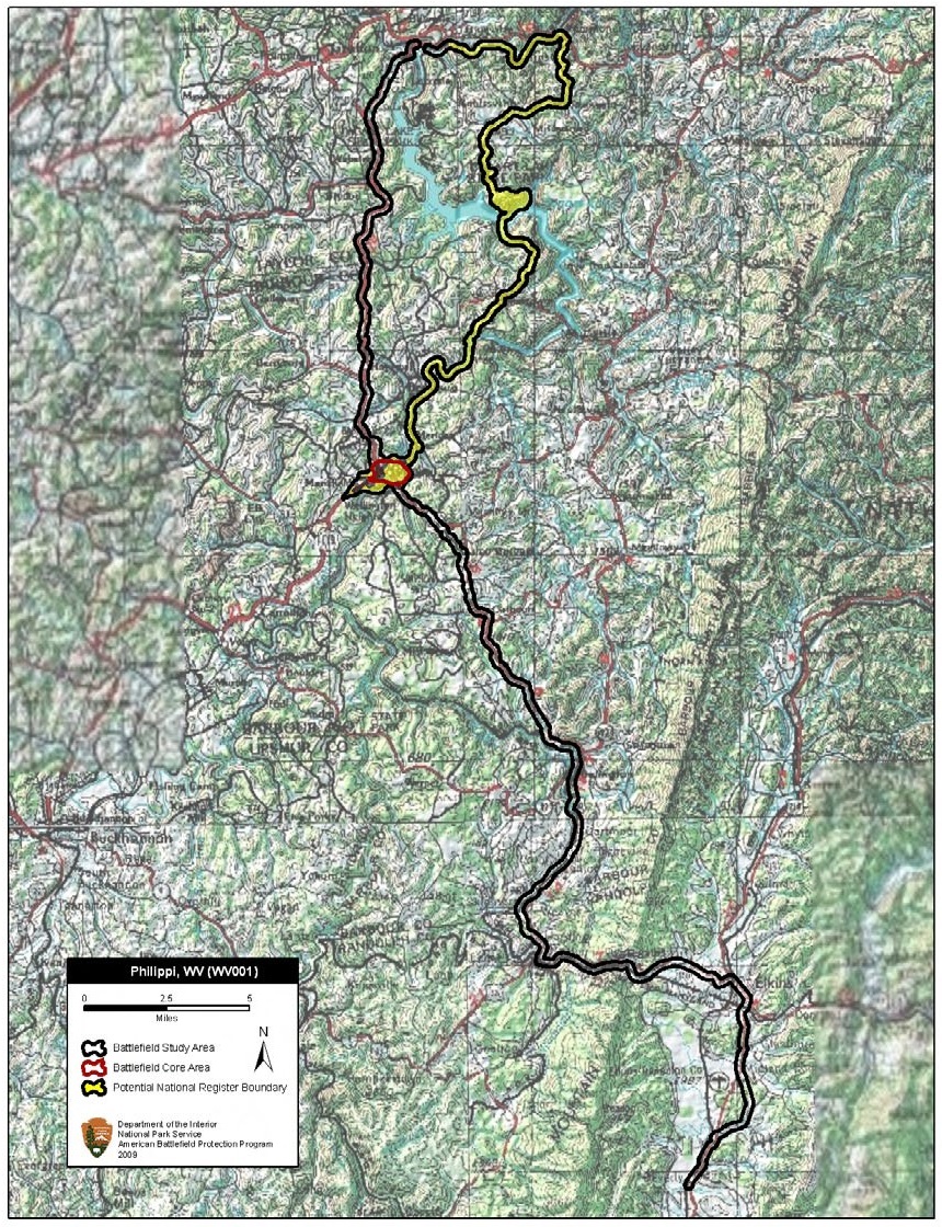
Philippi Battlefield West Virginia
February 2, 2010 · Wikimedia Commons

Camp Allegheny Battlefield West Virginia
February 2, 2010 · Wikimedia Commons

Kessler's Cross Lanes Battlefield West Virginia
February 2, 2010 · Wikimedia Commons

Carnifex Ferry Battlefield West Virginia
February 2, 2010 · Wikimedia Commons

Smithfield Crossing Battlefield West Virginia
February 2, 2010 · Wikimedia Commons

Goldsborough Bridge Battlefield North Carolina
April 13, 2010 · Wikimedia Commons