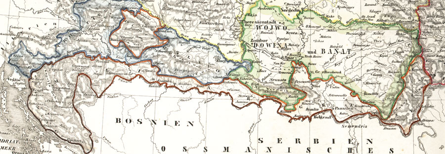

Militargrenze, Wojwodowena und Banat
Historic map of the military frontier of Austria-Hungary, also named Krajina, and of Vojvodina
- Date
- 19th century
- Mapmaker / publisher
- Scan plp
- Place
- Croatia
- Archive
- Wikimedia Commons
- Type
- map
- Original size
- 900 × 312 pixels
Public domain
Reason: its maker died long enough ago that the copyright has expired.
This status rests on the map's publication history, as researched by Wikimedia Commons. Check it before commercial use.
Read from: Commons licence category: PD Old; no CC BY, CC BY-SA, GFDL or deletion tag on the file page.
Credit line
"Militargrenze, Wojwodowena und Banat" (19th century). Scan plp, via Wikimedia Commons. Public domain. https://commons.wikimedia.org/wiki/File:Militargrenze,_Wojwodowena_und_Banat.jpgNeed maps for a whole project? Add Find Any Map to Claude and ask for this one by its id: 251504.
More like this

Harta Iozefina a Banatului background 1769-72
1769–1772 · Wikimedia Commons

Zemljopisna karta Dalmacije, Hrvatske, Slovenije, Bosne, Srbije, Istre i Dubrovacke republike u 18. st
Wikimedia Commons

Neu-Geographisch vorgestelltes Ungarisches Kriegs-Theatrum in Servien une dem Bannat Temeswar
1717 · 2 sheets

Meyer‘s Zeitungsatlas 019 – Die europäische Türkei: Croatien, Herzegowina, Serbien, Bosnien und das Land der Montenegriner
1849 · Wikimedia Commons

Ottoman vojvodina01
March 23, 2009 · Wikimedia Commons

Rascia Banat02
Wikimedia Commons
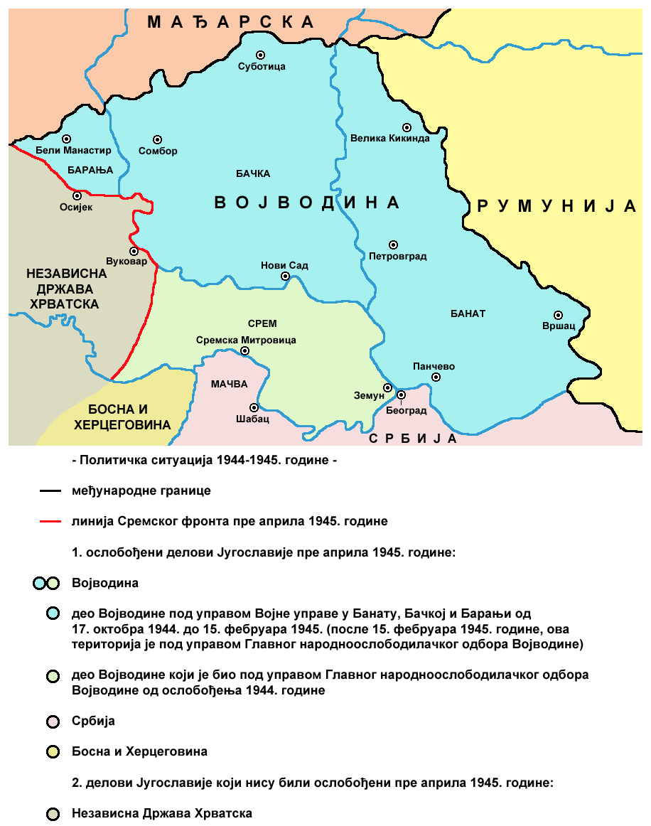
Vojvodina 1944 1945 02
June 29, 2009 · Wikimedia Commons

1 - Laibach, Agram, Plattensee, Slavonien; Scheda-Karte europ Türkei
1860–1870 · Wikimedia Commons