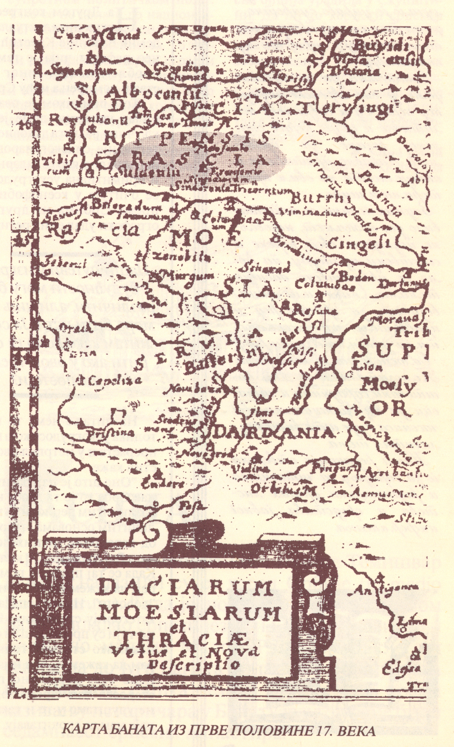

Rascia Banat02
- Place
- Serbia
- Archive
- Wikimedia Commons
- Type
- map
- Original size
- 912 × 1,498 pixels
Public domain
Reason: its maker died long enough ago that the copyright has expired.
This status rests on the map's publication history, as researched by Wikimedia Commons. Check it before commercial use.
Read from: Commons licence category: PD Old; no CC BY, CC BY-SA, GFDL or deletion tag on the file page.
Credit line
"Rascia Banat02". Wikimedia Commons. Public domain. https://commons.wikimedia.org/wiki/File:Rascia_Banat02.jpgNeed maps for a whole project? Add Find Any Map to Claude and ask for this one by its id: 250618.
More like this

Neu-Geographisch vorgestelltes Ungarisches Kriegs-Theatrum in Servien une dem Bannat Temeswar
1717 · 2 sheets
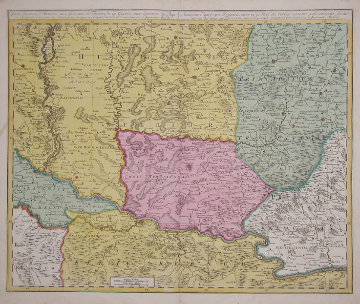
Copper engraving, hand colored in outline and wash when published. This map shows southern parts of the Habsburg Kingdom of Hungary with the neighboring Ottoman Province of Temeşvar, the southwestern
1700 · Wikimedia Commons

Rascia Banat01
Wikimedia Commons

Nova totius Hungariae, Transilvaniae, Serviae, Romaniae, Bulgariae, Walachiae, Moldaviae, Sclavoniae, Croatiae, Bosniae, Dalmatiae, maximaeq ue partis Danubii fluminis, descriptio
c. 1680 · Wikimedia Commons

Regni Hungariæ, Græcia et Moriæ, ac regionum quae ei quondam fuêre Christiani, ut Transilvaniæ, Valachiæ, Moldaviæ, Bessarabiæ, Bosniæ, Sclavoniæ, Serviæ, Bulgariæ, Croatiæ, Romaniæ, Dalmatiæ, Morlachiæ, Ragusanæ Republicæ, maximæq partis Danubii fluminis
c. 1680 · Wikimedia Commons

Mappa geographi ca confinia Imperiorum Caesares & Turcici novissima pace Carlovitzensi decreta
Wikimedia Commons

Walachia, Seruia, Bulgaria, Romania
1673 · Wikimedia Commons

Hungaria universalis divisa in proprie dictam Hungariam principatum septimonti regiones Sclavoniae Croatiae Bosniae Moldaviae Valachiae Bessarabiae et Romaniae
c. 1710 · Wikimedia Commons