

(Marshall Islands stick chart, Meddo type).
Title and date supplied by cataloger. Model housed in a cloth covered box with a clear plastic cover. "This type of stick chart used by Marshall Islanders represents a sectional or local nautical chart and usually portrays part of an island group. This Meddo represents the western or Ralik chain of the Marshall Islands and covers the general area between 164° and 170° east longitude and 4° and 12° north latitude. The large shell near the center of the chart represents the atoll of Kwajalein. The herring bone design near the bottom of the chart represents the influence of the northeast trade winds on the ocean swells after they pass through and around Jaluit Atoll. Stick charts are not made to scale, but represent the time factor of navigating a native outrigger sailing canoe from island to island." -- Label attached to shadow box.
- Date
- 1920
- Archive
- Library of Congress (via Wikimedia Commons)
- Type
- chart
- Original size
- 16,518 × 10,364 pixels
Public domainsafest
Reason: its maker died more than 80 years ago.
Read from: Commons licence category: PD-old-80-expired; no CC BY, CC BY-SA, GFDL or deletion tag on the file page.
Credit line
"(Marshall Islands stick chart, Meddo type)." (1920). Library of Congress, Geography and Map Division, via Wikimedia Commons. Public domain. https://commons.wikimedia.org/wiki/File:(Marshall_Islands_stick_chart,_Meddo_type)._LOC_2010586181.jpgNeed maps for a whole project? Add Find Any Map to Claude and ask for this one by its id: 6051.
More like this

(Marshall Islands stick chart, Mattang type).
1920 · Library of Congress

Marshall Islands stick chart, Rebbelib type.
1920 · Library of Congress

Map of the Crown Prince Islands, Disco (sic) Bay, Greenland
1925 · Library of Congress
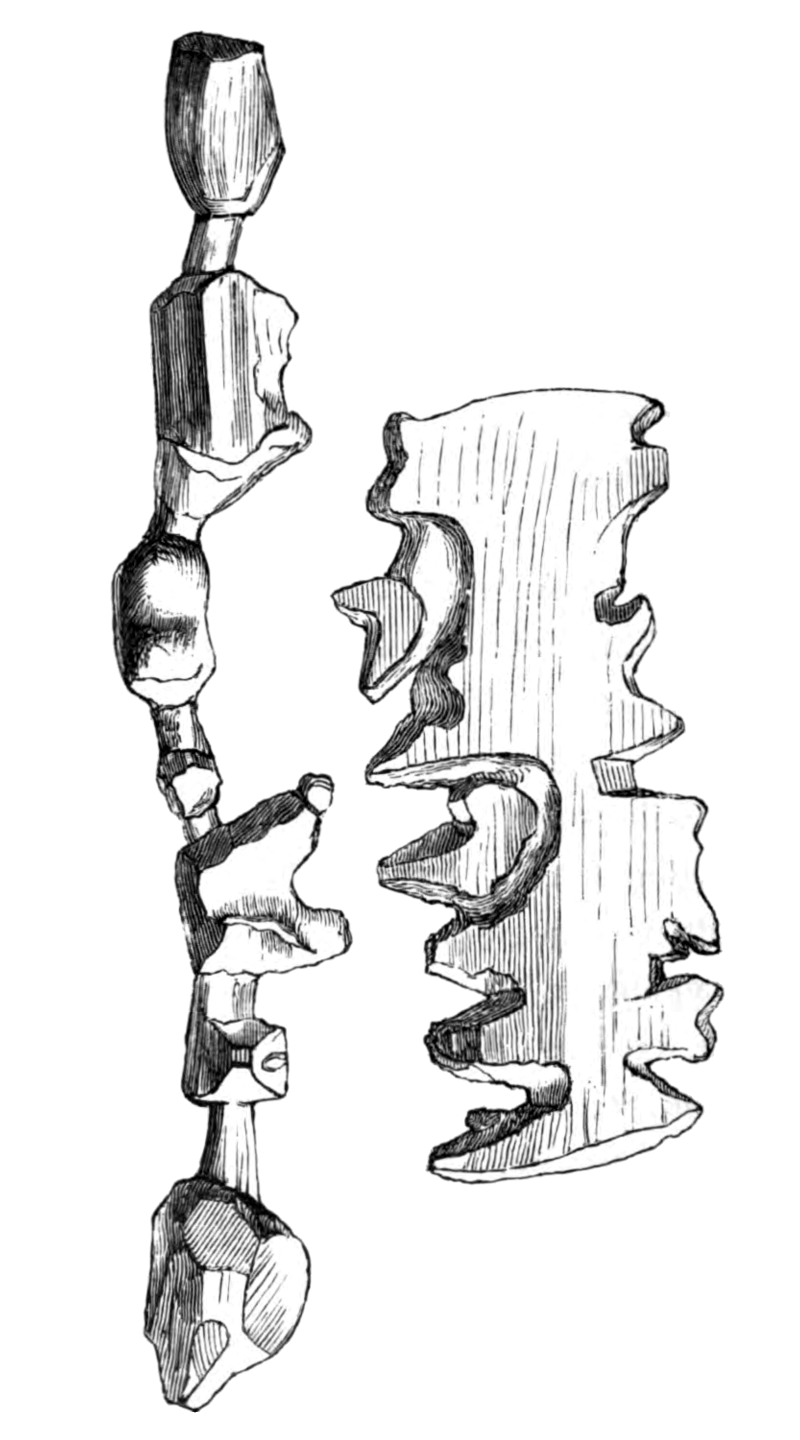
Holm1887p250 Trækort
1887 · Wikimedia Commons

Buginese chart of the East Indian Archipelago - ca. 1820 - UB Utrecht
c. 1820 · Wikimedia Commons

(Manuṣyaloka, map of the world of man, according to Jain cosomological traditions).
1890 · Library of Congress

Portolan chart of the Pacific coast from Mexico to northern Chile.
1500 · Library of Congress

Carta esférica que compde. una pte. del Archipielago de los Galapagos desde 1⁰ 35 ms. de latd. sept. hasta 1⁰ de la meridional reconocidos por la Fragta. Sta. Gertrudiz del man(?) del Capitan de
1700 · Library of Congress