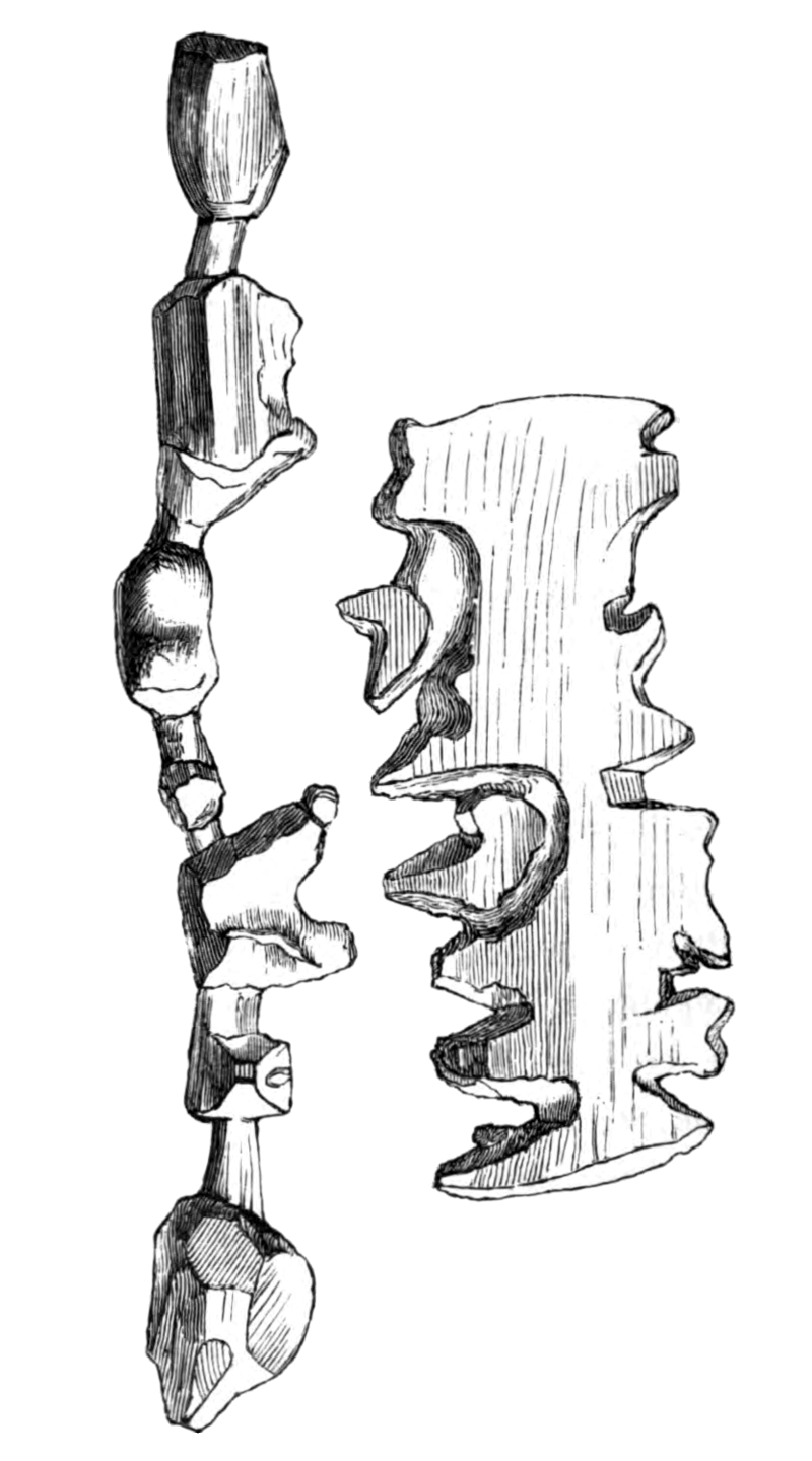

Holm1887p250 Trækort
Wooden maps of the east coast of Greenland collected by Gustav Holm's expedition circa 1883. Original caption: "Trækort."
- Date
- 1887
- Mapmaker / publisher
- Gustav Holm, Vilhelm Garde
- Place
- Greenland
- Archive
- Wikimedia Commons
- Type
- map
- Original size
- 800 × 1,440 pixels
Public domain
Reason: its maker died long enough ago that the copyright has expired.
This status rests on the map's publication history, as researched by Wikimedia Commons. Check it before commercial use.
Read from: Commons licence category: PD Old; no CC BY, CC BY-SA, GFDL or deletion tag on the file page.
Credit line
"Holm1887p250 Trækort" (1887). Gustav Holm, Vilhelm Garde, via Wikimedia Commons. Public domain. https://commons.wikimedia.org/wiki/File:Holm1887p250_Tr%C3%A6kort.pngNeed maps for a whole project? Add Find Any Map to Claude and ask for this one by its id: 294352.
More like this

Map of the Crown Prince Islands, Disco (sic) Bay, Greenland
1925 · Library of Congress

Grönlands historiske Mindesmærker Vol.3 (1845) Tab.12
1845 · Wikimedia Commons

Grönlands historiske Mindesmærker Vol.3 (1845) Tab.5
1845 · Wikimedia Commons

MAJOR(1874) p67 Map of Greenland
1875 · Wikimedia Commons

Grönlands historiske Mindesmærker Vol.3 (1845) Tab.11
1845 · Wikimedia Commons

Grönlands historiske Mindesmærker Vol.3 (1845) Tab.4
1845 · Wikimedia Commons

Grönlands historiske Mindesmærker Vol.3 (1845) Tab.7
1845 · Wikimedia Commons

Greenland Icefields (1896) Fig 49
1896 · Wikimedia Commons