

(Marshall Islands stick chart, Mattang type).
Title and date supplied by cataloger. Model housed in a cloth covered box with a clear plastic cover. "This class of stick chart was used as a training aid and represents no particular geographical area. They were usually symmetrical in shape. The shells represent any island and the pattern of waves are shown as they converge or are deflected from the island. An ancient Marshallese navigator could determine from his stick chart the relative location of his outrigger canoe in relation to the specific wave patterns observed and thence continue his voyage to his island destination." -- Label attached to shadow box.
- Date
- 1920
- Archive
- Library of Congress (via Wikimedia Commons)
- Type
- chart
- Original size
- 14,174 × 11,334 pixels
Public domainsafest
Reason: its maker died more than 80 years ago.
Read from: Commons licence category: PD-old-80-expired; no CC BY, CC BY-SA, GFDL or deletion tag on the file page.
Credit line
"(Marshall Islands stick chart, Mattang type)." (1920). Library of Congress, Geography and Map Division, via Wikimedia Commons. Public domain. https://commons.wikimedia.org/wiki/File:(Marshall_Islands_stick_chart,_Mattang_type)._LOC_2010586180.jpgNeed maps for a whole project? Add Find Any Map to Claude and ask for this one by its id: 6061.
More like this

(Marshall Islands stick chart, Meddo type).
1920 · Library of Congress

Marshall Islands stick chart, Rebbelib type.
1920 · Library of Congress
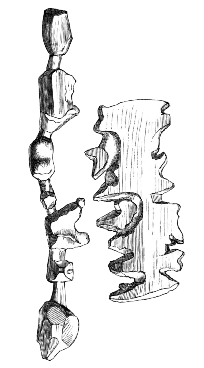
Holm1887p250 Trækort
1887 · Wikimedia Commons

Map of the Crown Prince Islands, Disco (sic) Bay, Greenland
1925 · Library of Congress

Buginese chart of the East Indian Archipelago - ca. 1820 - UB Utrecht
c. 1820 · Wikimedia Commons

(Manuṣyaloka, map of the world of man, according to Jain cosomological traditions).
1890 · Library of Congress

Map of Matrimony on Mercators projection shewing to timid lovers the orbit of affection to the true haven of conjugal happiness.
1800 · Library of Congress

(Chart of the Straits of Gaspar, Straits of Banca, and adjacent areas of the China and Java Seas)
1820 · Library of Congress