

Map of the Assyrian genocide in Urmia
Gaunt's description: "Northwestern Persia, showing principal Christian towns destroyed by Turks and Kurds; also line of flight to the Russian border."
- Date
- 1918
- Mapmaker / publisher
- Yonan Shahbaz
- Place
- Urmia
- Archive
- Wikimedia Commons
- Type
- map
- Original size
- 994 × 1,370 pixels
Public domainsafest
Reason: its US copyright has expired (published before 1931).
Read from: Commons licence category: PD US expired; no CC BY, CC BY-SA, GFDL or deletion tag on the file page.
Credit line
"Map of the Assyrian genocide in Urmia" (1918). Yonan Shahbaz, via Wikimedia Commons. Public domain. https://commons.wikimedia.org/wiki/File:Map_of_the_Assyrian_genocide_in_Urmia.pngNeed maps for a whole project? Add Find Any Map to Claude and ask for this one by its id: 22522.
More like this

Карта распределения армянского населения в Турецкой Армении и Курдистане с пояснительною запискою, 1895
1895 · Wikimedia Commons

Map of the Caucasus showing Circassia.
Wikimedia Commons

Map showing the boundaries of Armenia as awarded by President Wilson
1920 · Wikimedia Commons

Middle East.
1918 · Library of Congress
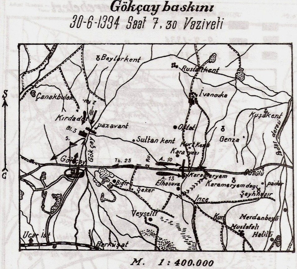
Battle of Goychay plan
Wikimedia Commons

Armenia-1916-front
1916 · Wikimedia Commons

Map showing approximate distribution of Kurdish tribes in the Ottoman Empire - Mark Sykes, Journal of the Royal Anthropological Society, 1908, p. 452
1908 · Wikimedia Commons

Map of Eastern Turkey in Asia, Syria and Western Persia (ethnographical)
1917 · Wikimedia Commons