

Чертёж Большерецка
- Mapmaker / publisher
- В. И. Казанцев
- Place
- Russia
- Archive
- Wikimedia Commons
- Type
- map
- Original size
- 1,024 × 339 pixels
Public domain
Reason: its maker died more than 70 years ago.
This status rests on the map's publication history, as researched by Wikimedia Commons. Check it before commercial use.
Read from: Commons licence category: PD-old-70-expired; no CC BY, CC BY-SA, GFDL or deletion tag on the file page.
Credit line
"Чертёж Большерецка". В. И. Казанцев, via Wikimedia Commons. Public domain. https://commons.wikimedia.org/wiki/File:%D0%A7%D0%B5%D1%80%D1%82%D1%91%D0%B6_%D0%91%D0%BE%D0%BB%D1%8C%D1%88%D0%B5%D1%80%D0%B5%D1%86%D0%BA%D0%B0.jpgNeed maps for a whole project? Add Find Any Map to Claude and ask for this one by its id: 241042.
More like this

Map of Kamchatka 1755
1755 · Wikimedia Commons
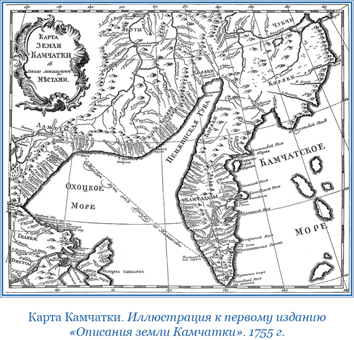
Карта Камчатки 1755
1755 · Wikimedia Commons

Карта Селенги, Ремезов С. У.
1700 · Wikimedia Commons

Kamchatka Remizov 1700
1700 · Wikimedia Commons

Veliky Ustuyg plan 18th century
Wikimedia Commons

Kamtschatka-(Bering)
1681–1741 · Wikimedia Commons

Pjotr Tschaplin - Karte der Kamtschatka-Expedition
Wikimedia Commons

Mozhaysk plan 18th century
Wikimedia Commons