

Kamtschatka-(Bering)
- Date
- 1681–1741
- Mapmaker / publisher
- Vitus Bering (1681-1741)
- Place
- Kamchatka
- Archive
- Wikimedia Commons
- Type
- map
- Original size
- 500 × 400 pixels
Public domain
Reason: its maker died long enough ago that the copyright has expired.
This status rests on the map's publication history, as researched by Wikimedia Commons. Check it before commercial use.
Read from: Commons licence category: PD Old; no CC BY, CC BY-SA, GFDL or deletion tag on the file page; permission field: }} == == Category:Old maps of Kamchatka.
Credit line
"Kamtschatka-(Bering)" (1681–1741). Vitus Bering (1681-1741), via Wikimedia Commons. Public domain. https://commons.wikimedia.org/wiki/File:Kamtschatka-(Bering).pngNeed maps for a whole project? Add Find Any Map to Claude and ask for this one by its id: 243284.
More like this

Map of Kamchatka 1755
1755 · Wikimedia Commons

MAP OF THE LANDS crossed by Captain Bering from the Town of TOBOLSK to KAMCHATKA" from the 1737 New Atlas of China, Chinese Tartary, and Tibet.
1737 · Siberia, plate 111 of 117

Pjotr Tschaplin - Karte der Kamtschatka-Expedition
Wikimedia Commons

Kamchatka Remizov 1700
1700 · Wikimedia Commons

Carte de Kamtchatka d'après la carte russe / gravé par Croisey
1700–1799 · Wikimedia Commons
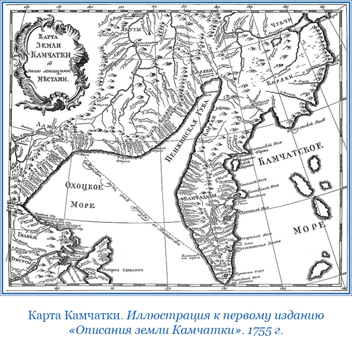
Карта Камчатки 1755
1755 · Wikimedia Commons

A map of Kamtschatka engraved from the russian map by Tho Jefferys
Wikimedia Commons

Anville Nouvel atlas de la Chine - Page108 - voyage beerings
1737 · Wikimedia Commons