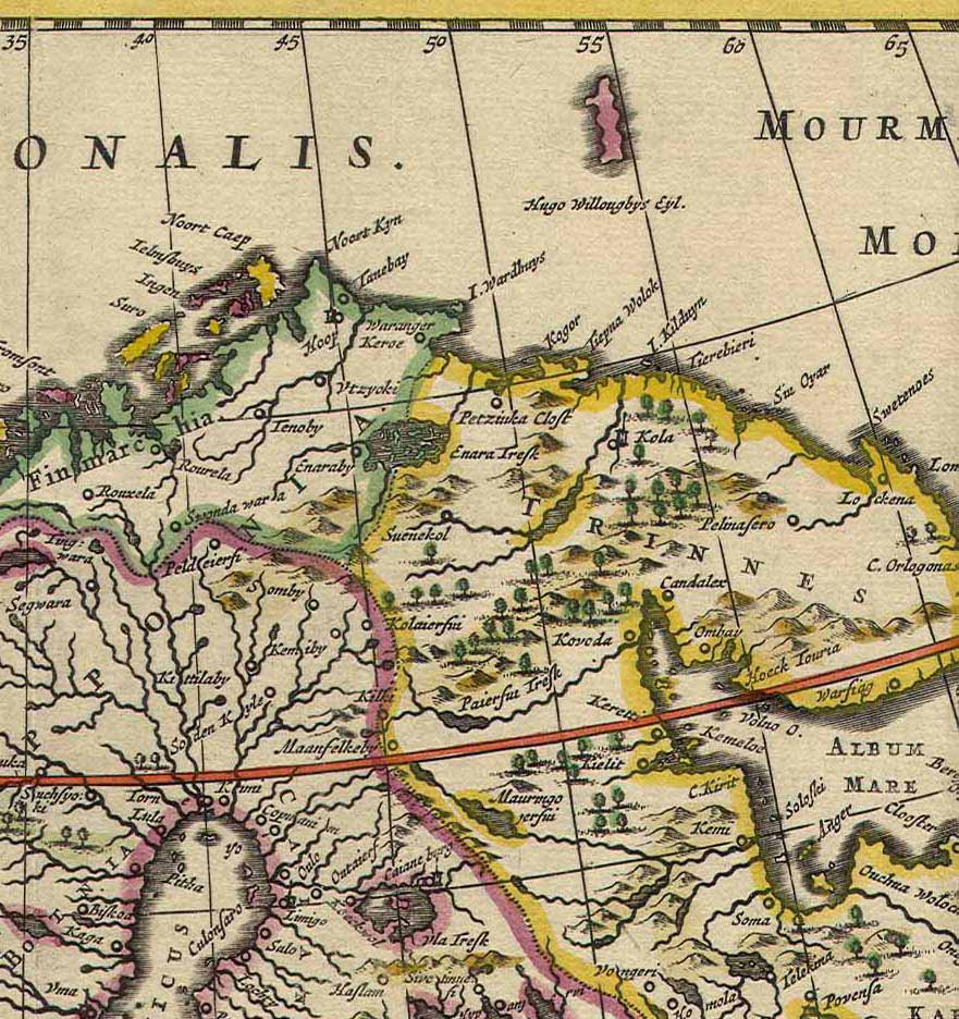

Kola Peninsula map from 1660
Dutch map of the.
- Date
- 1660
- Mapmaker / publisher
- De Wit
- Place
- Norway
- Archive
- Wikimedia Commons
- Type
- map
- Original size
- 881 × 936 pixels
Public domainsafest
Reason: its maker died more than 100 years ago, and a faithful scan of a flat work adds no new copyright.
Read from: Commons licence category: PD-Art (PD-old-100); no CC BY, CC BY-SA, GFDL or deletion tag on the file page.
Credit line
"Kola Peninsula map from 1660" (1660). De Wit, via Wikimedia Commons. Public domain. https://commons.wikimedia.org/wiki/File:Kola_Peninsula_map_from_1660.jpgNeed maps for a whole project? Add Find Any Map to Claude and ask for this one by its id: 240345.
More like this

Bure Lapponia 1611
1611 · Wikimedia Commons

The Coast of NORWAY and Lap Land from North Kyn to the River Kola
1702 · New York Public Library

De zee custen van Ruslant, Laplant, Finmarcken, Spitsbergen en Nova Zemla; De Reviere Dwina, ofte Reviere van Archangel.
1672 · New York Public Library

The Chart of FINMARCK from Dronten to Tromsound
1702 · New York Public Library

The Chart of FINMARCK from Sanien to North-Kyn or North point
1702 · New York Public Library

the Island of Keduyn; the River of Kola in the Great Besteck; the coast of Lapland from the River Kola to ye the Island of Swetnoes.
1702 · New York Public Library

the Island of Keduyn; the River of Kola in the Great Besteck; the coast of Lapland from the River Kola to ye the Island of Swetnoes.; Atlases, gazetteers, guidebooks and other books / The sea-atlas: c
1702–1707 · New York Public Library

Bure Orbis Arctoi 1626 one sheet
1626 · Wikimedia Commons