

Bure Lapponia 1611
The map is bound in a brown-spotted cardboard binding. Label on the front of the cover with the title of the map in handwriting. Stamp CTB. The map exists in two surviving copies. This, plus one copy in the Royal Library, Stockholm. The Royal Library map is in its final state with supplementary information on the Kola Peninsula. Provenance: Trolleholm Castle Format: 25.5 (height/length) x 33 (width) cm (sheet)
- Date
- 1611
- Mapmaker / publisher
- Anders Bure (1571-1656). Photo by Uppsala University Library
- Place
- the Kola Peninsula
- Archive
- Wikimedia Commons
- Type
- map
- Original size
- 5,169 × 3,966 pixels
CC0safest
Reason: CC0: dedicated to the public domain.
Read from: Commons licence category: CC-Zero; no CC BY, CC BY-SA, GFDL or deletion tag on the file page.
Credit line
"Bure Lapponia 1611" (1611). Anders Bure (1571-1656). Photo by Uppsala University Library, via Wikimedia Commons. CC0. https://commons.wikimedia.org/wiki/File:Bure_Lapponia_1611.jpgNeed maps for a whole project? Add Find Any Map to Claude and ask for this one by its id: 250614.
More like this

Bure Lapponia
1611 · Wikimedia Commons

Bure Orbis Arctoi 1626 one sheet
1626 · Wikimedia Commons

Bure Orbis Arctoi 1626 only map
1626 · Wikimedia Commons
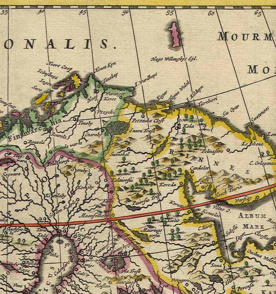
Kola Peninsula map from 1660
1660 · Wikimedia Commons

NORLANDIAE et quibies CESTRIACIA et HELSINGICAE REGIONES
1662 · Wikimedia Commons

the Island of Keduyn; the River of Kola in the Great Besteck; the coast of Lapland from the River Kola to ye the Island of Swetnoes.
1702 · New York Public Library

Old Norway map
1800 · Wikimedia Commons

William Borough map of the coasts of Norway, Lapland and North West Russia
1557 · Wikimedia Commons