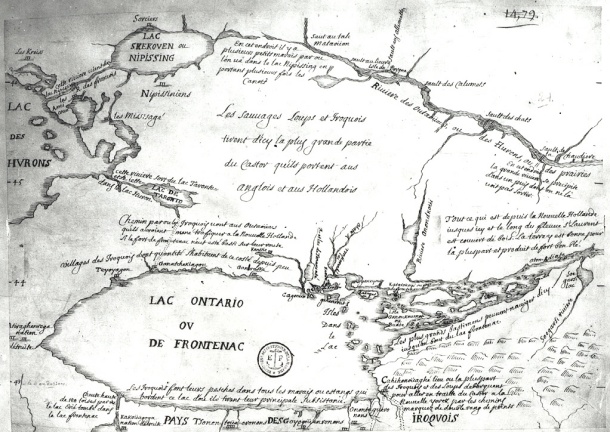

Early map of Lake Ontario
- Place
- Ontario
- Archive
- Wikimedia Commons
- Type
- map
- Original size
- 610 × 432 pixels
Public domain
Reason: its maker died long enough ago that the copyright has expired.
This status rests on the map's publication history, as researched by Wikimedia Commons. Check it before commercial use.
Read from: Commons licence category: PD Old; no CC BY, CC BY-SA, GFDL or deletion tag on the file page.
Credit line
"Early map of Lake Ontario". Wikimedia Commons. Public domain. https://commons.wikimedia.org/wiki/File:Early_map_of_Lake_Ontario.jpgNeed maps for a whole project? Add Find Any Map to Claude and ask for this one by its id: 295453.
More like this

Upper Canada and the Iroquois Confederacy
1860 · Wikimedia Commons

Darlington map of lake ontario 1680
1680 · Wikimedia Commons

Map of Huron Country, 1631–51
1639–1651 · Wikimedia Commons

Sketch Map of Upper Canada. routes Lt Gov Simcoe took.1793-5
1793–1795 · Wikimedia Commons

Great Lakes Seaway Trail - Map of the Seaway Trail
1995–2013 · U.S. National Archives

Carte du Lac Ontario et de la Riviere jusques au dela de L Isle de Montreal celle de Niagara et partie du Lac Erie
October 11, 1726 · Wikimedia Commons

The "Evans-Pownall" map of eastern North America.
c. 1755 · Library of Congress

Chart of Lake Ontario
1836 · 3 sheets