

Chorotesindiansi00roseiala 0005
Map of the Argentina-Bolivia frontier country showing the route and places of investigation of the Swedish Cordiller-Chaco Expedition 1901-1902.
- Date
- 1904
- Mapmaker / publisher
- Eric von Rosen
- Place
- Argentina
- Archive
- Wikimedia Commons
- Type
- map
- Original size
- 1,196 × 1,360 pixels
Public domainsafest
Reason: its US copyright has expired (published before 1931).
Read from: Commons licence category: PD US expired; no CC BY, CC BY-SA, GFDL or deletion tag on the file page.
Credit line
"Chorotesindiansi00roseiala 0005" (1904). Eric von Rosen, via Wikimedia Commons. Public domain. https://commons.wikimedia.org/wiki/File:Chorotesindiansi00roseiala_0005.jpgNeed maps for a whole project? Add Find Any Map to Claude and ask for this one by its id: 306488.
More like this

Sketch map showing the general course of the newly discovered tributary of the Madeira and the approximate route of the Roosevelt-Rondon expedition.
1914 · Library of Congress

Mission scientifique et économique Chari-Lac Tchad / dirigée par A. Chevalier, 1902-1904. Croquis des itinéraires. 1: 5 000 000; Dessiné par J. Hansen
1902–1904 · Wikimedia Commons

Dobrizhoffer Chaco map
1784 · Wikimedia Commons

Map of Tierra del Fuego showing Ona, Yahgan, Haush
1917 · Wikimedia Commons

FONTANA(1886) p141 EXPEDITION FONTANA DEL CHUBUT, PLANO
1886 · Wikimedia Commons
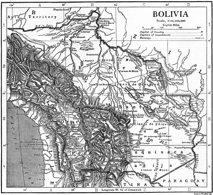
EB1911 Bolivia map
1911 · Wikimedia Commons

Sketch map of part of Tibet showing the explorations and journeys of Dr. Sven Hedin, 1906-1908.
1906 · Library of Congress

Croquis de la Puna de Atacama
1899 · Wikimedia Commons