

Croquis de la Puna de Atacama
- Date
- 1899
- Mapmaker / publisher
- Imprenta de M. Biedma e Hijo
- Place
- Puna de Atacama
- Archive
- Wikimedia Commons
- Type
- map
- Original size
- 714 × 1,024 pixels
Public domain
Reason: public domain: AR-Photo.
This status rests on the map's publication history, as researched by Wikimedia Commons. Check it before commercial use.
Read from: Commons licence category: PD-AR-Photo; no CC BY, CC BY-SA, GFDL or deletion tag on the file page.
Credit line
"Croquis de la Puna de Atacama" (1899). Imprenta de M. Biedma e Hijo, via Wikimedia Commons. Public domain. https://commons.wikimedia.org/wiki/File:Croquis_de_la_Puna_de_Atacama.jpgNeed maps for a whole project? Add Find Any Map to Claude and ask for this one by its id: 306786.
More like this
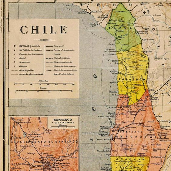
Mapa del Norte Grande de Chile a finales del siglo XIX
1897 · Wikimedia Commons

03-tocopilla-calama
1910 · Wikimedia Commons

Chile en 1903
1903 · Wikimedia Commons

05-taltal-chañaral
1910 · Wikimedia Commons

Plano del territorio de la Pampa y Rio Negro y de las once provincias chileuas que le avecindan por el oeste. / construido. por. Manuel J. Olascoaga
Wikimedia Commons

Plano catastral de la provincia de Mendoza
1910 · Library of Congress

Plano de la ciudad de Copiapó en Atacama, Chile de 1892
1892 · Wikimedia Commons

Departamento de Tacna, Chile Alberto Martín, editor
1900 · Wikimedia Commons