

C. 750 Eastern Patriarchates
Map of the Eastern Patriarchates and neighboring Syria and Palestine circa 750 CE
- Date
- 1888–1897
- Place
- Asia in the 8th century
- Archive
- Wikimedia Commons
- Type
- atlas page
- Original size
- 3,996 × 3,096 pixels
Public domainsafest
Reason: its maker died more than 100 years ago.
Read from: Commons licence category: PD-old-100-expired; no CC BY, CC BY-SA, GFDL or deletion tag on the file page.
Credit line
"C. 750 Eastern Patriarchates" (1888–1897). Wikimedia Commons. Public domain. https://commons.wikimedia.org/wiki/File:C._750_Eastern_Patriarchates.jpgNeed maps for a whole project? Add Find Any Map to Claude and ask for this one by its id: 246080.
More like this

Califate 750
1911–1926 · Wikimedia Commons

1800 Wilkinson Map of the 4 Eastern Churches rectified
1800 · 2 sheets

C. 750 Europe and Islamic Caliphate
c. 1911 · Wikimedia Commons

South-eastern Europe c. 1180
Wikimedia Commons

1375 abraham cresques bnf 02 mediterrani oriental
1375 · Wikimedia Commons
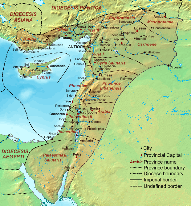
Dioecesis Orientis 400 AD
September 19, 2007 · Wikimedia Commons

Atlas classique de géographie ancienne et moderne: a l'usage des institutions et des autres établissements d'instruction publique
Wikimedia Commons

The Assyrian Empire and the Region about the Eastern Mediterranean, 750-625 B.C. Historical Atlas by William R. Shepherd, 1911. Courtesy of the University of Texas Libraries, The University of Texas a
1911 · Wikimedia Commons