

1375 abraham cresques bnf 02 mediterrani oriental
Mediterrani oriental
- Date
- 1375
- Place
- Palestine
- Archive
- Wikimedia Commons
- Type
- atlas page
- Original size
- 3,201 × 4,113 pixels
Public domainsafest
Reason: its maker died more than 100 years ago.
Read from: Commons licence category: PD-old-100-expired; no CC BY, CC BY-SA, GFDL or deletion tag on the file page.
Credit line
"1375 abraham cresques bnf 02 mediterrani oriental" (1375). Wikimedia Commons. Public domain. https://commons.wikimedia.org/wiki/File:1375_abraham_cresques_bnf_02_mediterrani_oriental.jpgNeed maps for a whole project? Add Find Any Map to Claude and ask for this one by its id: 137392.
More like this

Abraham and Jehuda Cresques Catalan Atlas. Eastern Europe
1375 · Wikimedia Commons

Eastern Mediterranean detail of portolan chart of Guillem Soler (c.1380, Paris)
c. 1380 · Wikimedia Commons

1450 ¿ Carta Catalana jpeg copy.C
1450 · Wikimedia Commons

Portolano of the Mediterranean Sea
1575 · Wikimedia Commons

Cavallini. Atlas nautique de la Mer Méditerranée et d'une partie de la Mer Noire. 1639. Israel
1380 · Wikimedia Commons

Atlas catalan de 1375
1375 · 5 sheets
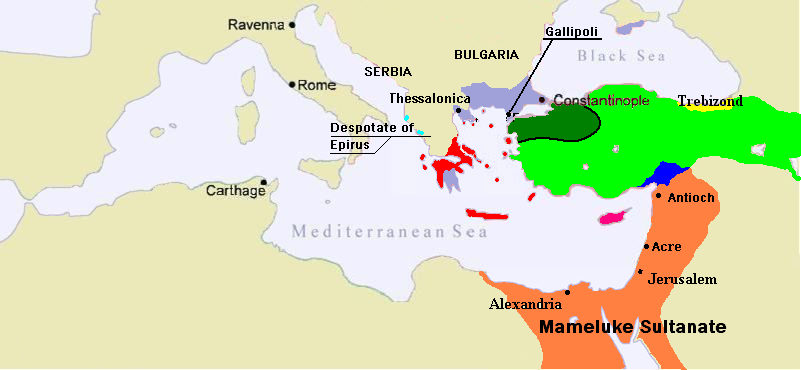
1350 Mediterranean Sea
June 13, 2007 · Wikimedia Commons

Albino de Canepa. The east of 1489 Portolan Chart. From the Black Sea at the top to the Red Sea at the bottom.G
1489 · Wikimedia Commons