

A map by Petrus Bertius, Amsterdam, 1606
- Date
- 1606
- Mapmaker / publisher
- Petrus Bertius
- Place
- South India
- Archive
- Wikimedia Commons
- Type
- map
- Original size
- 769 × 600 pixels
Public domain
Reason: its maker died long enough ago that the copyright has expired.
This status rests on the map's publication history, as researched by Wikimedia Commons. Check it before commercial use.
Read from: Commons licence category: PD Old; no CC BY, CC BY-SA, GFDL or deletion tag on the file page.
Credit line
"A map by Petrus Bertius, Amsterdam, 1606" (1606). Petrus Bertius, via Wikimedia Commons. Public domain. https://commons.wikimedia.org/wiki/File:A_map_by_Petrus_Bertius,_Amsterdam,_1606.jpgNeed maps for a whole project? Add Find Any Map to Claude and ask for this one by its id: 255325.
More like this

From Mercator's India Orientalis, Amsterdam, 1636 engraved 1606
1606 · Wikimedia Commons
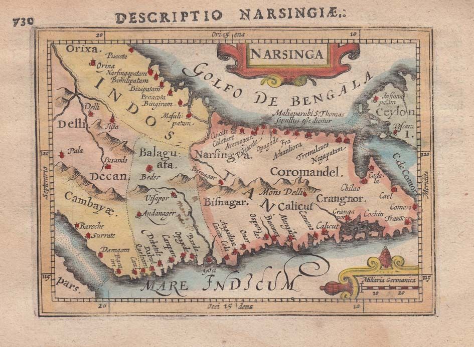
1616 Map of India by Petrus Bertius
1616 · Wikimedia Commons

India Map 1616, from BERTIUS ATLAS MAPS, Indiae Orientalis Tabularum Geographicarum
1616 · Wikimedia Commons

A miniature map from Pierre Duval's "Geographiae Universalis," 1679 (with modern hand coloring)
1679 · Wikimedia Commons
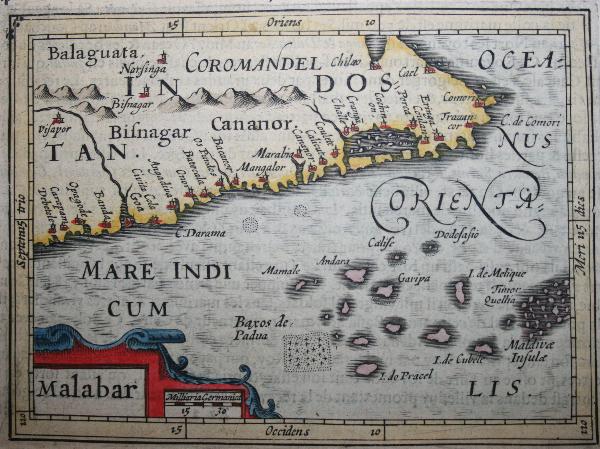
A horizontal Malabar Coast miniature, a reprint by Petrus Bertius, 1630
1630 · Wikimedia Commons

From "Nova tabula terrarum Cucan, Canara, Malabaria, Madura & Coramandelia, cum parte septroniali insulae Ceylon, in Mari Indico Orientali" by Gerard van Keulen, Amsterdam, c.1704
1704 · South India

A horizontal Malabar Coast miniature map by Abraham Ortelius, Antwerp, c.1580
1580 · India

17th century India Map from BERTIUS ATLAS MAPS
Wikimedia Commons