

India Map 1616, from BERTIUS ATLAS MAPS, Indiae Orientalis Tabularum Geographicarum
India map published in 17th century Archived by: Columbia University License qualifies under
- Date
- 1616
- Mapmaker / publisher
- Bertius
- Place
- India
- Archive
- Wikimedia Commons
- Type
- atlas page
- Original size
- 1,024 × 768 pixels
Public domain
Reason: a US government work.
This status rests on the map's publication history, as researched by Wikimedia Commons. Check it before commercial use.
Read from: Commons licence category: PD US; no CC BY, CC BY-SA, GFDL or deletion tag on the file page.
Credit line
"India Map 1616, from BERTIUS ATLAS MAPS, Indiae Orientalis Tabularum Geographicarum" (1616). Bertius, via Wikimedia Commons. Public domain. https://commons.wikimedia.org/wiki/File:India_Map_1616,_from_BERTIUS_ATLAS_MAPS,_Indiae_Orientalis_Tabularum_Geographicarum.jpgNeed maps for a whole project? Add Find Any Map to Claude and ask for this one by its id: 240273.
More like this

17th century India Map from BERTIUS ATLAS MAPS
Wikimedia Commons
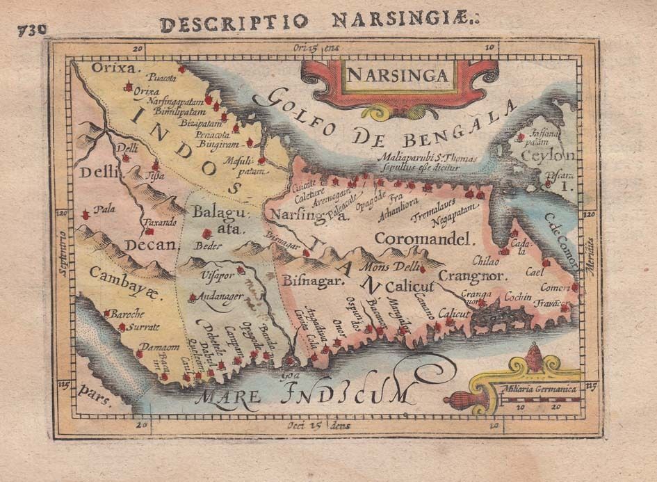
1616 Map of India by Petrus Bertius
1616 · Wikimedia Commons

17th century Jollain Map of India, South Asia, Southeast Asia
1653 · Wikimedia Commons

From Mercator's India Orientalis, Amsterdam, 1636 engraved 1606
1606 · Wikimedia Commons

A map by Petrus Bertius, Amsterdam, 1606
1606 · Wikimedia Commons

India, or the Mogul's Empire.
1701 · New York Public Library

Map of India by Alexis-Hubert Jaillot France in 1674
1674 · Wikimedia Commons

This is a 1595-1601 edition of Ortelius's map of India and Southeast Asia.
1595–1601 · Wikimedia Commons