

1882 Reynolds Map
of East London Source Birkbeck History Dept., not on the web
- Date
- 1882
- Mapmaker / publisher
- James Reynolds ?
- Place
- the London borough of Tower Hamlets
- Archive
- Wikimedia Commons
- Type
- map
- Original size
- 2,400 × 1,868 pixels
Public domainsafest
Reason: public domain: Art (PD-old-assumed-expired).
Read from: Commons licence category: PD-Art (PD-old-assumed-expired); no CC BY, CC BY-SA, GFDL or deletion tag on the file page.
Credit line
"1882 Reynolds Map" (1882). James Reynolds ?, via Wikimedia Commons. Public domain. https://commons.wikimedia.org/wiki/File:1882_Reynolds_Map.jpgNeed maps for a whole project? Add Find Any Map to Claude and ask for this one by its id: 293183.
More like this

1745 Roque Map
1745 · Wikimedia Commons

Thames river 1882
1882 · Wikimedia Commons

East End 1882 Reynolds Map
1882 · Wikimedia Commons
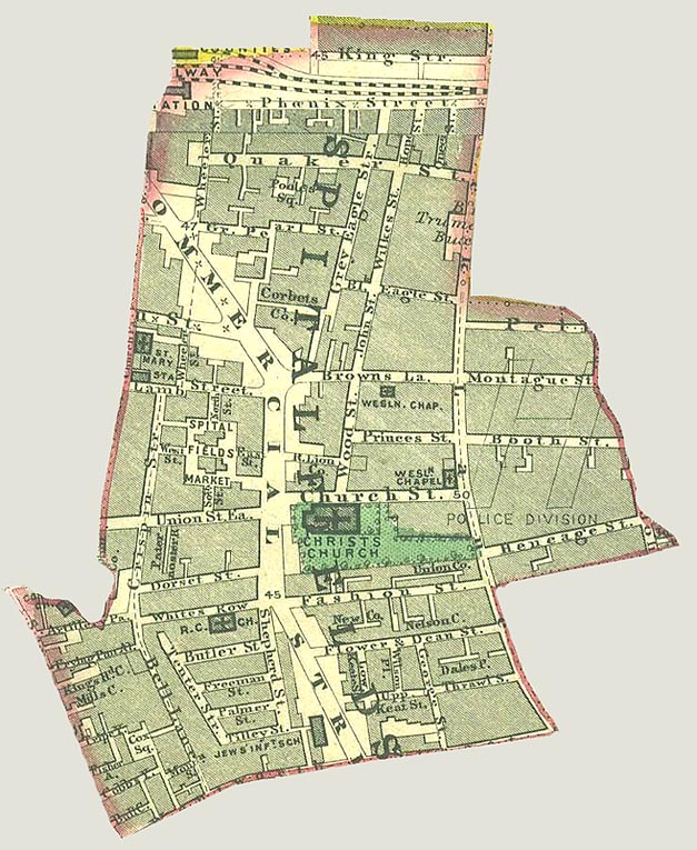
Spitalfields Parish map 1885
1885 · Wikimedia Commons

Hand Coloured Map Descriptive of London Poverty 1898-1899 Sheet 52 - Bethnal Green, Victoria Park, Globe Town, Old Ford, Bow, Tower Hamlets
1894–1899 · Wikimedia Commons

Isle of dogs 1899
1899 · Wikimedia Commons

Hand Coloured Map Descriptive of London Poverty 1898-1899 Sheet 79 - Poplar, Isle of Dogs, Cubitt Town, North Greenwich
1894–1899 · Wikimedia Commons

1782 A new and exact plan of the cities of London and Westminster & the borough of Southwark to this present year., by Robert Sayer, from the Digital Commonwealth - commonwealth ww72bp597
1782 · Wikimedia Commons